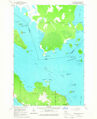
1964 Map of Lime Island
USGS Topo · Published 1966About this map
St Joseph Island and the neighboring Lime Island dominate the aquatic boundary where the Saint Marys River meets Potagannissing Bay. This maritime landscape is defined by the United States Canada international border, which weaves through the channel between the islands. On the mainland, De Tour Village serves as the primary coastal settlement, located at the southern terminus of North Road.
Find a feature on this map
51 named features on this map. Tap any name to fly to it.
Don’t see what you’re looking for? This feature index may not catch every label — zoom into the map to look around manually.
Map Details
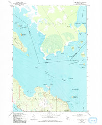
Editions of this 1964 Lime Island Map
2 editions found
Other maps of this area

1953 · Munuscong NE
USGS Topo · 1:24,000

1954 · Alpena
USGS Topo · 1:250,000

1954 · Sault Sainte Marie
USGS Topo · 1:250,000

1955 · Cheboygan
USGS Topo · 1:250,000

1956 · Sault Sainte Marie
USGS Topo · 1:250,000

1957 · Alpena
USGS Topo · 1:250,000

1957 · Sault Sainte Marie
USGS Topo · 1:250,000

1958 · Cheboygan
USGS Topo · 1:250,000

1958 · Alpena
USGS Topo · 1:250,000

1958 · Sault Sainte Marie
USGS Topo · 1:250,000