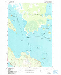
1964 Map of Lime Island
USGS Topo · Published 1994About this map
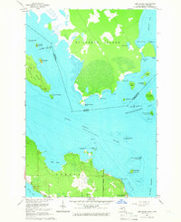
The Saint Marys River serves as the international boundary in this 1964 survey, separating St Joseph Island in Ontario from the Michigan mainland and Lime Island. The maritime character of the region is evident in the numerous points, bays, and reefs that define the shoreline, including Old Fort St Joe Point and Watson Reefs. At the southern edge of the map, De Tour Village stands as the primary settlement, situated at the entrance to the De Tour Passage.
Find a feature on this map
53 named features on this map. Tap any name to fly to it.
Don’t see what you’re looking for? This feature index may not catch every label — zoom into the map to look around manually.
Map Details
Editions of this 1964 Lime Island Map
2 editions found
Other maps of this area

1953 · Munuscong NE
USGS Topo · 1:24,000

1954 · Alpena
USGS Topo · 1:250,000

1954 · Sault Sainte Marie
USGS Topo · 1:250,000

1955 · Cheboygan
USGS Topo · 1:250,000

1956 · Sault Sainte Marie
USGS Topo · 1:250,000

1957 · Alpena
USGS Topo · 1:250,000

1957 · Sault Sainte Marie
USGS Topo · 1:250,000

1958 · Cheboygan
USGS Topo · 1:250,000

1958 · Alpena
USGS Topo · 1:250,000

1958 · Sault Sainte Marie
USGS Topo · 1:250,000