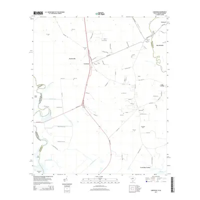
2014 Map of Limehouse
USGS Topo · Published 2014About this map
The New River carves a winding path through the Lowcountry on this survey, marking the jurisdictional boundary between Jasper Co and Beaufort Co in South Carolina, and eventually Chatham Co in Georgia. This coastal landscape is defined by its intricate water systems, from the Lucknow Canal and Murray Hill Canal to the marshy reaches of Argyle Island and Tunbridge Neck. The settlement patterns here are deeply rooted in family history, evidenced by a high density of small cemeteries scattered across the terrain, including Pelot Cem, Chisolm Cem, and Hardy Cem.
Find a feature on this map
85 named features on this map. Tap any name to fly to it.
Don’t see what you’re looking for? This feature index may not catch every label — zoom into the map to look around manually.
Map Details
Editions of this 2014 Limehouse Map
This is the sole edition of this map. No revisions or reprints were ever made.
Other maps of this area

1920 · Hardeeville
USGS Topo · 1:62,500

1920 · Okatie
USGS Topo · 1:62,500

1920 · Bluffton
USGS Topo · 1:62,500

1942 · Savannah
USGS Topo · 1:62,500

1942 · Okatie
USGS Topo · 1:62,500

1943 · Hardeeville
USGS Topo · 1:62,500

1945 · Bluffton
USGS Topo · 1:62,500

1947 · Savannah
USGS Topo · 1:250,000

1948 · Savannah
USGS Topo · 1:250,000

1953 · Hardeeville
USGS Topo · 1:62,500