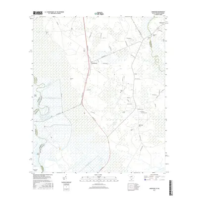
2017 Map of Limehouse
USGS Topo · Published 2017About this map
The low-lying wetlands of the South Carolina-Georgia border define this coastal landscape, where the New River separates Jasper and Beaufort counties. At the heart of the region, the settlement of Limehouse sits near the intersection of Speedway Blvd and Freedom Pkwy, serving as a central point for a network of rural roads such as Levy Rd and Purryburg. The area is characterized by significant genealogical landmarks, including a high concentration of small family burial grounds like Pelot Cem, Chisolm Cem, and Hardy Cem.
Find a feature on this map
66 named features on this map. Tap any name to fly to it.
Don’t see what you’re looking for? This feature index may not catch every label — zoom into the map to look around manually.
Map Details
Editions of this 2017 Limehouse Map
This is the sole edition of this map. No revisions or reprints were ever made.
Other maps of this area

1920 · Hardeeville
USGS Topo · 1:62,500

1920 · Okatie
USGS Topo · 1:62,500

1920 · Bluffton
USGS Topo · 1:62,500

1942 · Savannah
USGS Topo · 1:62,500

1942 · Okatie
USGS Topo · 1:62,500

1943 · Hardeeville
USGS Topo · 1:62,500

1945 · Bluffton
USGS Topo · 1:62,500

1947 · Savannah
USGS Topo · 1:250,000

1948 · Savannah
USGS Topo · 1:250,000

1953 · Hardeeville
USGS Topo · 1:62,500