
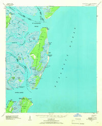
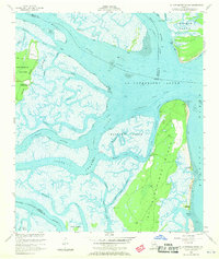
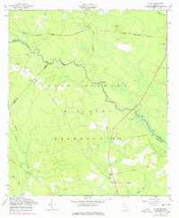
1920 Map of Limerick
USGS Topo · Published 1928This historical map portrays the area of Limerick in 1920, primarily covering Liberty County as well as portions of Bryan County and Chatham County. Featuring a scale of 1:62500, this map provides a highly detailed snapshot of the terrain, roads, buildings, counties, and historical landmarks in the Limerick region at the time. Published in 1928, it is the sole known edition of this map.
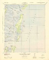
Find a feature on this map
43 named features on this map. Tap any name to fly to it.
Don’t see what you’re looking for? This feature index may not catch every label — zoom into the map to look around manually.
Map Details
Editions of this 1920 Limerick Map
This is the sole edition of this map. No revisions or reprints were ever made.
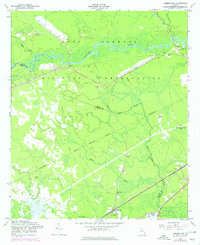
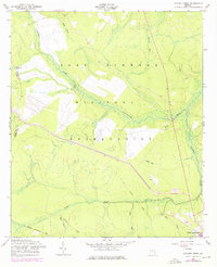
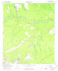
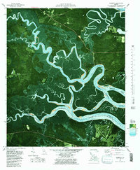
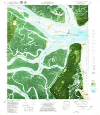
Historical Maps of Port Royal Through Time
16 maps found
1920 Limerick
Liberty County, GA

1928 St Catherines Island
Liberty County, GA
1943 St Catherines Island
Liberty County, GA

1944 Limerick
Liberty County, GA
1945 St. Catherine's Island
Liberty County, GA
1948 Limerick
Liberty County, GA

1950 Limerick
Liberty County, GA
1954 Seabrook
Liberty County, GA
1954 St Catherines Sound
Liberty County, GA

1958 Dorchester
Liberty County, GA
1958 Limerick NW
Liberty County, GA
1958 Taylors Creek
Liberty County, GA
1958 Trinity
Liberty County, GA
1958 Willie
Liberty County, GA
1979 Seabrook
Liberty County, GA
1979 St Catherines Sound
Liberty County, GA