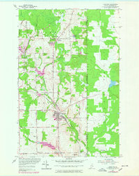
1953 Map of Limestone
USGS Topo · Published 1978About this map
Limestone serves as the focal point of this northern Maine landscape, situated at the edge of the international border with New Brunswick. In the mid-20th century, the expansion of the Loring Air Force Base significantly altered the western portion of this area, as reflected in the revised topography of the late 1970s. The region is defined by its agricultural corners and small settlements like Caswell Plantation, Four Corners, and Cote Corner, which are connected by a network of rural routes such as the Pine Tree Trail and Bog Road.
Find a feature on this map
50 named features on this map. Tap any name to fly to it.
Don’t see what you’re looking for? This feature index may not catch every label — zoom into the map to look around manually.
Map Details
Editions of this 1953 Limestone Map
2 editions found
Other maps of this area

1921 · Van Buren
USGS Topo · 1:250,000

1930 · Fort Fairfield
USGS Topo · 1:48,000

1931 · Van Buren
USGS Topo · 1:48,000

1933 · Fort Fairfield
USGS Topo · 1:62,500

1934 · Van Buren
USGS Topo · 1:62,500

1951 · Van Buren
USGS Topo · 1:62,500

1951 · Fort Fairfield
USGS Topo · 1:62,500

1953 · Fort Fairfield NW
USGS Topo · 1:24,000
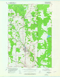
1953 · Limestone
USGS Topo · 1:24,000

1959 · Woodstock
USGS Topo · 1:250,000