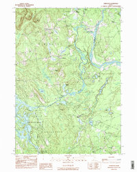
1983 Map of Limington
USGS Topo · Published 1984About this map
The Little Ossipee River and Saco River converge at the heart of this York County landscape, defining the historic boundaries between Limington, Standish, and Hollis. The early 1980s topography reveals a region shifting from its industrial mill roots toward modern residential growth, most notably seen at Lake Arrowhead Estates along the western shore of Lake Arrowhead. This planned development contrasts with the traditional settlement patterns found at South Limington and Chadbournes Mills, where family-named landmarks such as Chadbournes Ridge and Chadbournes Pond speak to deep generational ties to the land.
Find a feature on this map
58 named features on this map. Tap any name to fly to it.
Don’t see what you’re looking for? This feature index may not catch every label — zoom into the map to look around manually.
Map Details
Editions of this 1983 Limington Map
2 editions found
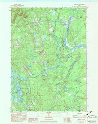
Other maps of this area

1891 · Buxton
USGS Topo · 1:62,500

1891 · Newfield
USGS Topo · 1:62,500

1892 · Buxton
USGS Topo · 1:62,500

1893 · Buxton
USGS Topo · 1:62,500

1893 · Newfield
USGS Topo · 1:62,500

1896 · Sebago
USGS Topo · 1:62,500

1910 · Kezar Falls
USGS Topo · 1:48,000

1911 · Kezar Falls
USGS Topo · 1:62,500

1933 · Newfield
USGS Topo · 1:48,000

1937 · Newfield
USGS Topo · 1:62,500