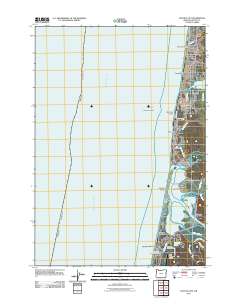
2011 Map of Lincoln City
USGS Topo · Published 2011About this map
Lincoln City and its distinctive beachfront neighborhoods define this coastal landscape at the start of the 2010s. The map illustrates the linear development of communities along the shore, from Wecoma Beach and Oceanlake in the north through Delake, Nelscott, and Taft. This settlement pattern reflects the area's history as a series of separate villages before their consolidation. South of the city, the environment shifts at the Siletz River estuary. Significant maritime and navigation features like Siletz Reef and Tacklebuster Reef lie just offshore in the Pacific Ocean, while inland, Devils Lake and Salishan Lake provide a counterpoint to the salt water. The presence of the Siletz Bay State Airport and the Gleneden Beach Post Office marks the continued infrastructure and communal centers serving the southern reaches of Siletz Bay, including Salishan and Siletz Keys.
Find a feature on this map
42 named features on this map. Tap any name to fly to it.
Don’t see what you’re looking for? This feature index may not catch every label — zoom into the map to look around manually.
Map Details
Editions of this 2011 Lincoln City Map
This is the sole edition of this map. No revisions or reprints were ever made.
Other maps of this area

1941 · Nestucca Bay
USGS Topo · 1:62,500

1941 · Cape Foulweather
USGS Topo · 1:62,500

1942 · Euchre Mtn
USGS Topo · 1:62,500

1942 · Nestucca Bay
USGS Topo · 1:62,500

1943 · Euchre Mtn
USGS Topo · 1:62,500

1944 · Cape Foulweather
USGS Topo · 1:62,500

1948 · Vancouver
USGS Topo · 1:250,000

1950 · Vancouver
USGS Topo · 1:250,000

1950 · Vancouver
USGS Topo · 1:250,000

1953 · Salem
USGS Topo · 1:250,000