
1897 Map of Lincoln
USGS Topo · Published 1897About this map
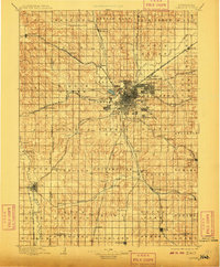
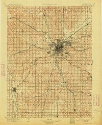
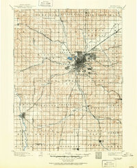
Lincoln serves as the focal point of a massive nineteenth-century rail network, with lines like the Union Pacific R. R. (Main Line) and the Burlington and Missouri River R. R. converging on the city. The capital is surrounded by emerging suburban settlements including University Place, Bethany, and College View, while the Asylum stands as a prominent landmark on the city's southwestern edge. This landscape is defined by the transition from the high bluffs to the bottomlands of Salt Creek, where the distinct Lincoln Salt Lake sits just west of the main town site.
Find a feature on this map
103 named features on this map. Tap any name to fly to it.
Don’t see what you’re looking for? This feature index may not catch every label — zoom into the map to look around manually.
Map Details
Editions of this 1897 Lincoln Map
4 editions found
Other maps of this area

1893 · Fremont
USGS Topo · 1:125,000

1896 · Fremont
USGS Topo · 1:125,000

1899 · Wahoo
USGS Topo · 1:125,000

1899 · David City
USGS Topo · 1:125,000

1903 · Weeping Water
USGS Topo · 1:125,000

1929 · Weeping Water
USGS Topo · 1:125,000

1934 · Seward
USGS Topo · 1:48,000

1935 · Dorchester
USGS Topo · 1:48,000

1939 · Seward
USGS Topo · 1:62,500

1940 · Dorchester
USGS Topo · 1:62,500