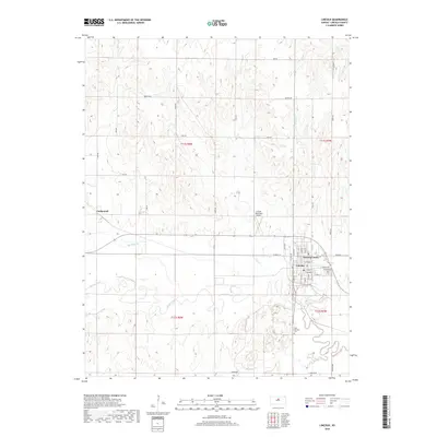
2018 Map of Lincoln
USGS Topo · Published 2018About this map
Lincoln Center and the neighboring settlement of Goldenrod anchor this survey of the northern Kansas plains, where the meandering Saline River defines the lower terrain. The landscape is deeply etched by a network of drainage systems, including Spillman Cr and Lost Cr, which feed into the river valley. The civic layout of the area is well-established, centered on the grid of Lincoln Center with its historical street names like E Lincoln Ave and E College Ave.
Find a feature on this map
30 named features on this map. Tap any name to fly to it.
Don’t see what you’re looking for? This feature index may not catch every label — zoom into the map to look around manually.
Map Details
Editions of this 2018 Lincoln Map
This is the sole edition of this map. No revisions or reprints were ever made.
Other maps of this area

1894 · Ellsworth
USGS Topo · 1:125,000

1894 · Beloit
USGS Topo · 1:125,000

1955 · Great Bend
USGS Topo · 1:250,000

1955 · Beloit
USGS Topo · 1:250,000

1957 · Great Bend
USGS Topo · 1:250,000

1958 · Great Bend
USGS Topo · 1:250,000

1959 · Beloit
USGS Topo · 1:250,000

1962 · Vesper
USGS Topo · 1:24,000

1962 · Lincoln
USGS Topo · 1:24,000
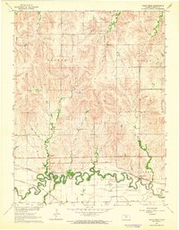
1963 · Shady Bend
USGS Topo · 1:24,000