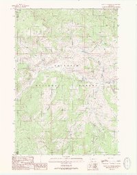
1988 Map of Lincoln Mountain
USGS Topo · Published 1989About this map
Gallatin National Forest dominates this 1980s landscape, where the high-altitude terrain is defined by a network of drainage basins and peaks. The map centers on the area around Lincoln Mountain, showcasing a environment where specialized infrastructure like the Wapiti FS Station and the Nine Quarter Circle Ranch represent the primary human footprints. Movement through the backcountry is indicated by a primitive Landing Strip and a series of pack trails that follow the winding paths of Taylor Creek and Wapiti Creek. High-elevation water bodies, including the descriptively named Lizard Lakes, Albino Lake, and Marble Lake, are scattered across the timbered slopes. The boundary between Madison and Gallatin counties cuts through the western portion of the quadrangle, marking a transition in this wilderness area managed for forestry and recreation during the late 20th century.
Find a feature on this map
20 named features on this map. Tap any name to fly to it.
Don’t see what you’re looking for? This feature index may not catch every label — zoom into the map to look around manually.
Map Details
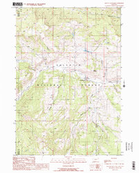
Editions of this 1988 Lincoln Mountain Map
2 editions found
Other maps of this area

1888 · Three Forks
USGS Topo · 1:250,000

1894 · Three Forks
USGS Topo · 1:250,000

1895 · Three Forks
USGS Topo · 1:250,000

1947 · Bozeman
USGS Topo · 1:250,000

1948 · Bozeman
USGS Topo · 1:250,000

1950 · Hebgen Dam
USGS Topo · 1:62,500

1950 · Sphinx Mountain
USGS Topo · 1:62,500

1955 · Bozeman
USGS Topo · 1:250,000

1955 · Crown Butte
USGS Topo · 1:62,500

1955 · Ashton
USGS Topo · 1:250,000