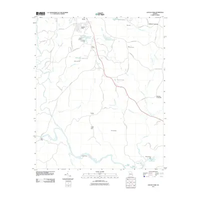
2011 Map of Lincoln Park
USGS Topo · Published 2011About this map
Lincoln Park and its surrounding rural corridors are documented in this 2011 Georgia survey, showcasing a landscape defined by the winding course of the Flint River and its numerous tributaries. The geography is marked by distinct landmarks such as Snipes Grave Rock and Ten Acre Rock south of Good Hope Cemetery, alongside significant water features like Copper Hill West-Lake and Mathis Lake. Historically established crossroads such as Redbone Crossroads and Birdsong Crossroads serve as focal points for the local road network, which includes many family-named routes like Trice Cemetary Rd and Lanier Rd.
Find a feature on this map
66 named features on this map. Tap any name to fly to it.
Don’t see what you’re looking for? This feature index may not catch every label — zoom into the map to look around manually.
Map Details
Editions of this 2011 Lincoln Park Map
This is the sole edition of this map. No revisions or reprints were ever made.
Other maps of this area

1935 · Thomaston
USGS Topo · 1:48,000

1939 · Thomaston
USGS Topo · 1:62,500

1951 · Yatesville
USGS Topo · 1:62,500

1955 · Phenix City
USGS Topo · 1:250,000

1957 · Phenix City
USGS Topo · 1:250,000

1958 · Phenix City
USGS Topo · 1:250,000
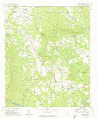
1971 · Sunset Village
USGS Topo · 1:24,000
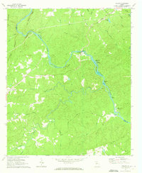
1971 · Roland
USGS Topo · 1:24,000

1971 · Prattsburg
USGS Topo · 1:24,000
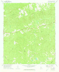
1971 · Baldwinville
USGS Topo · 1:24,000