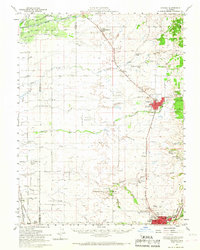
1953 Map of Lincoln
USGS Topo · Published 1968About this map
Agricultural development and industrial infrastructure define the landscape around Lincoln and Roseville in this mid-century survey. The area is marked by a transition from the riparian corridors of the Bear River and Coon Creek to established family landholdings such as the WF Fiddyment Ranch and Spring Valley Ranch. Industrial activity is evident in the Dredge Tailings north of Lincoln, reflecting the region's mining heritage, while the presence of the Southern Pacific railroad and Lincoln Airport signals the growing transport network of the era.
Find a feature on this map
55 named features on this map. Tap any name to fly to it.
Don’t see what you’re looking for? This feature index may not catch every label — zoom into the map to look around manually.
Map Details
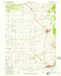
Editions of this 1953 Lincoln Map
2 editions found
Other maps of this area

1888 · Marysville
USGS Topo · 1:125,000

1888 · Smartsville
USGS Topo · 1:125,000

1891 · Sacramento
USGS Topo · 1:125,000

1891 · Marysville
USGS Topo · 1:125,000

1891 · Smartsville
USGS Topo · 1:125,000

1892 · Sacramento
USGS Topo · 1:125,000

1892 · Smartsville
USGS Topo · 1:125,000

1893 · Sacramento
USGS Topo · 1:125,000

1894 · Smartsville
USGS Topo · 1:125,000

1894 · Marysville
USGS Topo · 1:125,000