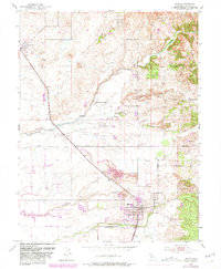
1953 Map of Lincoln
USGS Topo · Published 1981About this map
The Southern Pacific railroad corridor anchors this mid-century view of Placer County, following a northwest-to-southeast line through Lincoln and Sheridan. The landscape reveals a complex history of land use, where agriculture and industry overlap along the drainages of Coon Creek, Doty Ravine, and Auburn Ravine. Significant evidence of historical mining is visible in the extensive Dredge Tailings that follow the creek beds, contrasted by the extractive operations at the Clay Pit near Clayton.
Find a feature on this map
29 named features on this map. Tap any name to fly to it.
Don’t see what you’re looking for? This feature index may not catch every label — zoom into the map to look around manually.
Map Details
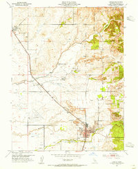
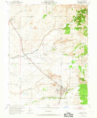
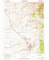
Editions of this 1953 Lincoln Map
4 editions found
Other maps of this area

1888 · Smartsville
USGS Topo · 1:125,000

1891 · Sacramento
USGS Topo · 1:125,000

1891 · Smartsville
USGS Topo · 1:125,000

1892 · Sacramento
USGS Topo · 1:125,000

1892 · Smartsville
USGS Topo · 1:125,000

1893 · Sacramento
USGS Topo · 1:125,000

1894 · Smartsville
USGS Topo · 1:125,000

1895 · Smartsville
USGS Topo · 1:125,000

1910 · Sheridan
USGS Topo · 1:31,680

1910 · Lincoln
USGS Topo · 1:31,680