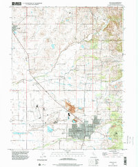
1992 Map of Lincoln
USGS Topo · Published 2000About this map
The city of Lincoln serves as the industrial and civic anchor of this Placer County landscape, showing its organized grid with streets like 7th Street and 4th Street. The map captures a transitional rural environment where agricultural holdings like Chamberlain Ranch and Sunnybrook Farm meet the industrial legacy of the region's earthworks. Numerous sections of Former Tailings and a large Claypit near Clayton point to the area's history of clay mining and resource extraction, which historically fueled local pottery and brick production. In the northern reaches, the settlement of Sheridan remains distinct, while the drainage of Coon Creek and the Doty Ravine define the hydrological layout. Transportation and infrastructure are prominent, with the Lincoln Regional Airport and the complex irrigation of the Lincoln Canal supporting the valley's growth and aviation needs.
Find a feature on this map
26 named features on this map. Tap any name to fly to it.
Don’t see what you’re looking for? This feature index may not catch every label — zoom into the map to look around manually.
Map Details
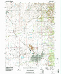
Editions of this 1992 Lincoln Map
2 editions found
Other maps of this area

1888 · Smartsville
USGS Topo · 1:125,000

1891 · Sacramento
USGS Topo · 1:125,000

1891 · Smartsville
USGS Topo · 1:125,000

1892 · Sacramento
USGS Topo · 1:125,000

1892 · Smartsville
USGS Topo · 1:125,000

1893 · Sacramento
USGS Topo · 1:125,000

1894 · Smartsville
USGS Topo · 1:125,000

1895 · Smartsville
USGS Topo · 1:125,000

1910 · Sheridan
USGS Topo · 1:31,680

1910 · Lincoln
USGS Topo · 1:31,680