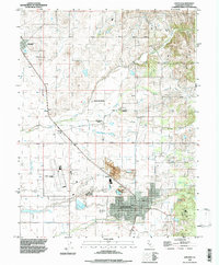
1992 Map of Lincoln
USGS Topo · Published 1997About this map
The city of Lincoln serves as the focal point of this Placer County survey, where the established town grid meets the agricultural and industrial outskirts of the 1990s. The landscape is defined by the drainage systems of Coon Creek, Doty Ravine, and Auburn Ravine, which carve through the valley floor. Evidence of the region’s economic foundations is visible in the prominent Claypit near Clayton, reflecting the area's long history of clay extraction and manufacturing.
Find a feature on this map
19 named features on this map. Tap any name to fly to it.
Don’t see what you’re looking for? This feature index may not catch every label — zoom into the map to look around manually.
Map Details
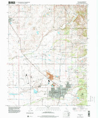
Editions of this 1992 Lincoln Map
2 editions found
Other maps of this area

1888 · Smartsville
USGS Topo · 1:125,000

1891 · Sacramento
USGS Topo · 1:125,000

1891 · Smartsville
USGS Topo · 1:125,000

1892 · Sacramento
USGS Topo · 1:125,000

1892 · Smartsville
USGS Topo · 1:125,000

1893 · Sacramento
USGS Topo · 1:125,000

1894 · Smartsville
USGS Topo · 1:125,000

1895 · Smartsville
USGS Topo · 1:125,000

1910 · Sheridan
USGS Topo · 1:31,680

1910 · Lincoln
USGS Topo · 1:31,680