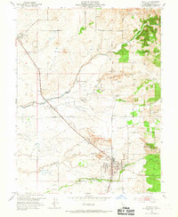
1953 Map of Lincoln
USGS Topo · Published 1967About this map
The city of Lincoln serves as the focal point of this Placer County survey, situated at the crossroads of the Southern Pacific railroad and a series of agricultural ravines. The landscape transitions from the developed town center, marked by its Po, City Hall, and High Sch, to the industrial and agricultural outskirts. To the south, a significant Clay Pit and an area of Dredge Tailings near Lincoln Airport highlight the region's extractive history.
Find a feature on this map
20 named features on this map. Tap any name to fly to it.
Don’t see what you’re looking for? This feature index may not catch every label — zoom into the map to look around manually.
Map Details
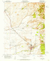
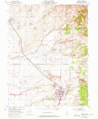
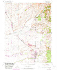
Editions of this 1953 Lincoln Map
4 editions found
Other maps of this area

1888 · Smartsville
USGS Topo · 1:125,000

1891 · Sacramento
USGS Topo · 1:125,000

1891 · Smartsville
USGS Topo · 1:125,000

1892 · Sacramento
USGS Topo · 1:125,000

1892 · Smartsville
USGS Topo · 1:125,000

1893 · Sacramento
USGS Topo · 1:125,000

1894 · Smartsville
USGS Topo · 1:125,000

1895 · Smartsville
USGS Topo · 1:125,000

1910 · Sheridan
USGS Topo · 1:31,680

1910 · Lincoln
USGS Topo · 1:31,680