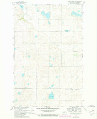
1960 Map of Lincoln Valley NW
USGS Topo · Published 1981About this map
The Sheyenne River winds through this portion of Sheridan County, shaping a prairie landscape dotted with glacial lakes and organized around early township education. The 1960 survey, updated with 1981 revisions, reveals a pattern of dispersed rural life where schoolhouses served as primary community anchors. One can trace the locations of Highland Sch No 1, Highland Sch No 2, Gransville Sch No 2, and Gransville Sch No 4, reflecting the high density of small school districts that once defined North Dakota's agricultural heartland.
Find a feature on this map
12 named features on this map. Tap any name to fly to it.
Don’t see what you’re looking for? This feature index may not catch every label — zoom into the map to look around manually.
Map Details
Editions of this 1960 Lincoln Valley NW Map
2 editions found
Other maps of this area

1929 · Balfour
USGS Topo · 1:62,500

1930 · Drake
USGS Topo · 1:62,500

1945 · Pelican Lake
USGS Topo · 1:62,500

1947 · Pelican Lake
USGS Topo · 1:62,500

1947 · Lincoln Valley
USGS Topo · 1:62,500

1954 · McClusky
USGS Topo · 1:250,000

1958 · McClusky
USGS Topo · 1:250,000

1958 · Drake
USGS Topo · 1:62,500

1958 · Balfour
USGS Topo · 1:62,500
1958 · Drake SW
USGS Topo · 1:24,000