
1960 Map of Lincoln Valley SE
USGS Topo · Published 1961About this map
Advent Cem stands as a focal point in this 1960 survey of Sheridan County, where the prairie landscape is defined by its rural education network and scattered glacial potholes. The townships of Lincoln Dale and Denhoff are mapped at a time when one-room schoolhouses remained essential community landmarks, including Lincoln Sch No 2, Lincoln Sch No 3, and Schiller Sch No 3. These schools, often named after local families or the districts they served, are joined by Mertz Sch No 3 and Hellman Sch No 4 in a grid-like pattern of settlement.
Find a feature on this map
12 named features on this map. Tap any name to fly to it.
Don’t see what you’re looking for? This feature index may not catch every label — zoom into the map to look around manually.
Map Details
Editions of this 1960 Lincoln Valley SE Map
This is the sole edition of this map. No revisions or reprints were ever made.
Other maps of this area

1946 · Sheyenne Lake
USGS Topo · 1:48,000

1947 · Lincoln Valley
USGS Topo · 1:62,500

1947 · Sheyenne Lake
USGS Topo · 1:62,500

1950 · Sheyenne Lake
USGS Topo · 1:24,000

1954 · McClusky
USGS Topo · 1:250,000

1958 · McClusky
USGS Topo · 1:250,000

1959 · McClusky
USGS Topo · 1:24,000

1960 · Denhoff
USGS Topo · 1:24,000
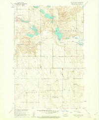
1960 · Lincoln Valley
USGS Topo · 1:24,000
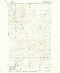
1960 · Lincoln Valley SW
USGS Topo · 1:24,000