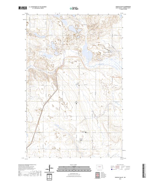
2024 Map of Lincoln Valley
USGS Topo · Published 2024About this map
Lincoln Valley serves as the focal point of this Sheridan County landscape, where the prairie is defined by its small-town roots and agricultural heritage. The community's history is preserved in its spiritual landmarks, including the Lincoln Valley Lutheran Cem, Lincoln Valley Baptist Cem, and the Kassel Reformed Church Cem, which anchor the surrounding townships. These sites provide valuable geographic markers for genealogists tracing the early families of the central North Dakota plains.
Find a feature on this map
32 named features on this map. Tap any name to fly to it.
Don’t see what you’re looking for? This feature index may not catch every label — zoom into the map to look around manually.
Map Details
Editions of this 2024 Lincoln Valley Map
This is the sole edition of this map. No revisions or reprints were ever made.
Other maps of this area

1930 · Drake
USGS Topo · 1:62,500

1940 · Aylmer
USGS Topo · 1:62,500

1946 · Sheyenne Lake
USGS Topo · 1:48,000

1947 · Lincoln Valley
USGS Topo · 1:62,500

1947 · Sheyenne Lake
USGS Topo · 1:62,500

1950 · Sheyenne Lake
USGS Topo · 1:24,000

1951 · Anamoose SW
USGS Topo · 1:24,000

1954 · McClusky
USGS Topo · 1:250,000

1958 · McClusky
USGS Topo · 1:250,000

1958 · Drake
USGS Topo · 1:62,500