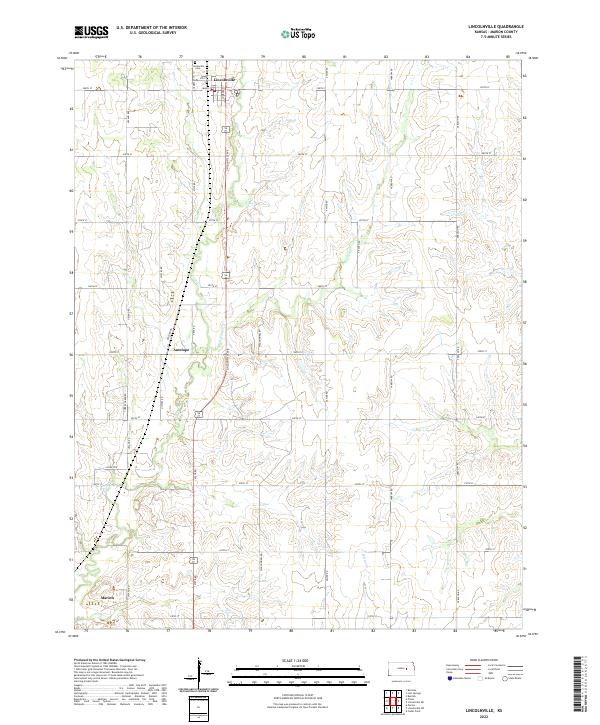
2022 Map of Lincolnville
USGS Topo · Published 2022About this map
Lincolnville serves as a focal point of this rural Marion County landscape, situated along the upper reaches of Clear Cr. The town's grid is centered on Main St and Lincolnville Ave, where a local Po and the nearby Lincolnville Cem mark the community's long-standing presence. To the south, the settlement of Antelope occupies a position near the confluence of E Br Clear Cr, while the edge of Marion appears in the southwestern corner. The terrain is defined by a strictly numbered road system, such as 290th St and 210th St, which carve the prairie into regular sections. Waterways like Martin Cr provide the primary natural breaks in this agricultural grid, illustrating how early Kansas settlement patterns were dictated by both the township-and-range survey system and the essential path of local creeks.
Find a feature on this map
37 named features on this map. Tap any name to fly to it.
Don’t see what you’re looking for? This feature index may not catch every label — zoom into the map to look around manually.
Map Details
Editions of this 2022 Lincolnville Map
This is the sole edition of this map. No revisions or reprints were ever made.
Other maps of this area

1889 · Newton
USGS Topo · 1:125,000

1889 · Abilene
USGS Topo · 1:125,000

1889 · Parkerville
USGS Topo · 1:125,000

1894 · Newton
USGS Topo · 1:125,000

1894 · Abilene
USGS Topo · 1:125,000

1894 · Parkerville
USGS Topo · 1:125,000

1898 · Cottonwood Falls
USGS Topo · 1:125,000

1955 · Hutchinson
USGS Topo · 1:250,000

1957 · Cedar Point
USGS Topo · 1:24,000

1957 · Lincolnville SW
USGS Topo · 1:24,000