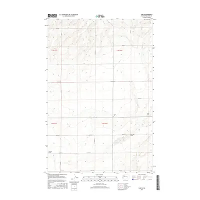
2017 Map of Lind SE
USGS Topo · Published 2017About this map
Michigan Prairie anchors this corner of the Columbia Plateau, where the landscape is defined by the agricultural geometry of the Township 15 North, Range 34 East and Township 16 North, Range 33 East boundaries. The area’s sparse but enduring local history is marked by the Delight Cem and McChesney Spring, points of interest for genealogists tracing early settlement in the Palouse region. A network of rural section-line roads, including S Longmeier Rd and Cunningham Rd, connects scattered farmsteads across the undulating terrain. To the east, the topography shifts into the Sand Hills and the winding course of the Sand Hills Coulee, illustrating the drainage patterns that have shaped the agricultural viability of this high desert environment.
Find a feature on this map
23 named features on this map. Tap any name to fly to it.
Don’t see what you’re looking for? This feature index may not catch every label — zoom into the map to look around manually.
Map Details
Editions of this 2017 Lind SE Map
This is the sole edition of this map. No revisions or reprints were ever made.
Other maps of this area

1916 · Connell
USGS Topo · 1:125,000

1918 · Connell
USGS Topo · 1:125,000

1923 · Washtucna
USGS Topo · 1:62,500

1925 · Washtucna
USGS Topo · 1:62,500

1948 · Ayer
USGS Topo · 1:62,500

1950 · Haas
USGS Topo · 1:62,500

1953 · Walla Walla
USGS Topo · 1:250,000

1958 · Walla Walla
USGS Topo · 1:250,000

1970 · Lind SE
USGS Topo · 1:24,000

1970 · Lind SW
USGS Topo · 1:24,000