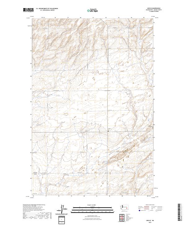
2023 Map of Lind SE
USGS Topo · Published 2023About this map
Michigan Prairie and the surrounding dryland agricultural landscape of Adams County define this corner of the Columbia Basin. The terrain is marked by the distinctive Sand Hills and the winding Sand Hills Coulee, which cuts diagonally through the southeastern portion of the quadrangle. This 2023 survey documents a remote section of the Evergreen State where the township and range system remains the primary organizing force, evidenced by long straight thoroughfares like Cunningham Rd and Hampton Rd. Local history is centered at Delight Cem, a small burial ground situated near the head of a coulee. Water sources in this arid environment are scarce, with McChesney Spring serving as a notable landmark for those tracing the hydrology and early settlement patterns of the region.
Find a feature on this map
23 named features on this map. Tap any name to fly to it.
Don’t see what you’re looking for? This feature index may not catch every label — zoom into the map to look around manually.
Map Details
Editions of this 2023 Lind SE Map
This is the sole edition of this map. No revisions or reprints were ever made.
Other maps of this area

1916 · Connell
USGS Topo · 1:125,000

1918 · Connell
USGS Topo · 1:125,000

1923 · Washtucna
USGS Topo · 1:62,500

1925 · Washtucna
USGS Topo · 1:62,500

1948 · Ayer
USGS Topo · 1:62,500

1950 · Haas
USGS Topo · 1:62,500

1953 · Walla Walla
USGS Topo · 1:250,000

1958 · Walla Walla
USGS Topo · 1:250,000

1970 · Lind SE
USGS Topo · 1:24,000

1970 · Lind SW
USGS Topo · 1:24,000