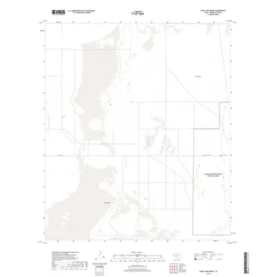
2019 Map of Linda Lake North
USGS Topo · Published 2019About this map
Salt Basin and the expansive Crow Flats dominate this high-desert landscape in Hudspeth County, where the stark topography of West Texas is carefully documented. The eastern edge of the quadrangle includes a significant portion of Guadalupe Mountains National Park, a preserved wilderness area that highlights the transition from the arid basin floor to the protected mountain terrain. This survey illustrates a remote region defined by its hydrographic features and sparse transportation network, including the vital Crow Spring and a handful of desert tracks such as Williams Rd. The presence of the Dunes Trail and Salt Basin Dunes Rd provides evidence of the area's role in local recreation and conservation efforts within the park boundaries, offering a clear view of the land's character before more recent environmental shifts.
Find a feature on this map
7 named features on this map. Tap any name to fly to it.
Don’t see what you’re looking for? This feature index may not catch every label — zoom into the map to look around manually.
Map Details
Editions of this 2019 Linda Lake North Map
This is the sole edition of this map. No revisions or reprints were ever made.
Other maps of this area

1933 · Guadalupe Peak
USGS Topo · 1:48,000

1935 · El Paso Gap
USGS Topo · 1:62,500

1936 · El Paso Gap
USGS Topo · 1:48,000

1940 · El Paso Gap
USGS Topo · 1:62,500

1940 · Guadalupe Peak
USGS Topo · 1:62,500

1951 · Dell City
USGS Topo · 1:62,500

1954 · Carlsbad
USGS Topo · 1:250,000

1954 · Van Horn
USGS Topo · 1:250,000

1958 · Van Horn
USGS Topo · 1:250,000

1958 · Carlsbad
USGS Topo · 1:250,000