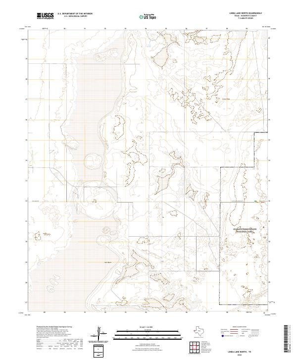
2022 Map of Linda Lake North
USGS Topo · Published 2022About this map
The Salt Basin floor dominates this portion of the Chihuahuan Desert, where expansive alkali flats and gypsum deposits create a stark geological landscape. This modern survey illustrates the intersection of public lands and the high desert interior, particularly the western reaches of Guadalupe Mountains National Park. The topography is characterized by the broad, low-lying Crow Flats, which transition into more complex terrain near Crow Spring in the north. Transport through this arid environment is limited to a few established routes, including Williams Rd and Salt Basin Dunes Rd, the latter of which provides access to the eastern dunes. The map's detail helps researchers understand contemporary land management and the preservation of these unique salt basins, showing the modern footprint of the Dunes Trl as it winds through the park boundary.
Find a feature on this map
7 named features on this map. Tap any name to fly to it.
Don’t see what you’re looking for? This feature index may not catch every label — zoom into the map to look around manually.
Map Details
Editions of this 2022 Linda Lake North Map
This is the sole edition of this map. No revisions or reprints were ever made.
Other maps of this area

1933 · Guadalupe Peak
USGS Topo · 1:48,000

1935 · El Paso Gap
USGS Topo · 1:62,500

1936 · El Paso Gap
USGS Topo · 1:48,000

1940 · El Paso Gap
USGS Topo · 1:62,500

1940 · Guadalupe Peak
USGS Topo · 1:62,500

1951 · Dell City
USGS Topo · 1:62,500

1954 · Carlsbad
USGS Topo · 1:250,000

1954 · Van Horn
USGS Topo · 1:250,000

1958 · Van Horn
USGS Topo · 1:250,000

1958 · Carlsbad
USGS Topo · 1:250,000