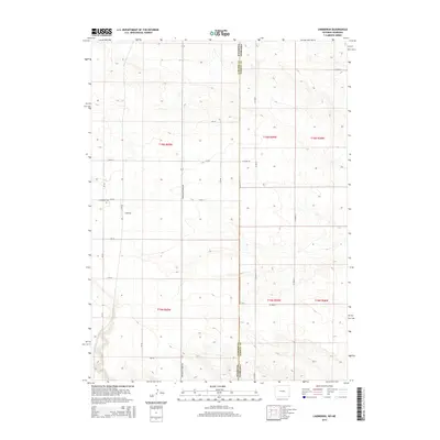
2015 Map of Lindbergh
USGS Topo · Published 2015About this map
The high plains of the Wyoming Nebraska border come into sharp focus in this topographic study of southeastern Laramie County. Centered on the settlement of Lindbergh, the landscape is defined by the rigid geometry of the Public Land Survey System, where section lines and county roads like CR-162 and CR-222 dictate the movement of travelers and the boundaries of agricultural holdings. The small community is anchored by the Lindbergh Cem, a vital point of reference for local family history in this sparsely populated stretch of the frontier. The north-south corridor of Pine Bluff-Albin Rd serves as the primary artery connecting these remote ranching townships. Topography is marked by subtle shifts in elevation across the open prairie, with drainages and draws creating a complex system of contours that break the otherwise flat horizon.
Find a feature on this map
26 named features on this map. Tap any name to fly to it.
Don’t see what you’re looking for? This feature index may not catch every label — zoom into the map to look around manually.
Map Details
Editions of this 2015 Lindbergh Map
This is the sole edition of this map. No revisions or reprints were ever made.
Other maps of this area

1954 · Scottsbluff
USGS Topo · 1:250,000

1954 · Cheyenne
USGS Topo · 1:250,000

1958 · Cheyenne
USGS Topo · 1:250,000

1958 · Scottsbluff
USGS Topo · 1:250,000

1963 · Pine Bluffs
USGS Topo · 1:24,000

1963 · Lindbergh
USGS Topo · 1:24,000

1963 · Gurney Peak
USGS Topo · 1:24,000

1963 · Tracy
USGS Topo · 1:24,000

1968 · Pine Bluffs
USGS Topo · 1:24,000

1972 · Bushnell
USGS Topo · 1:24,000