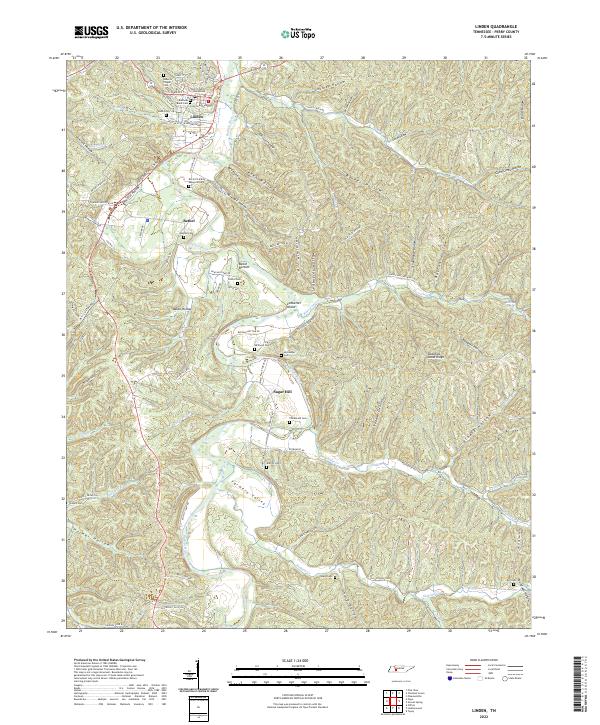
2022 Map of Linden
USGS Topo · Published 2022About this map
Linden serves as the focal point of this Tennessee landscape, anchored by the Perry County Courthouse near the banks of the Buffalo River. The terrain is defined by a dense network of hollows—such as Slickrock Hollow, Journey Hollow, and Gin Hollow—that carve through the ridges, dictating the placement of early settlements and roads. Outside the town center, smaller communities like Bethel, Sugar Hill, and Farmers Valley are situated in the broader valleys or along the river bends, reflecting a historical reliance on water access and flat tillable land.
Find a feature on this map
101 named features on this map. Tap any name to fly to it.
Don’t see what you’re looking for? This feature index may not catch every label — zoom into the map to look around manually.
Map Details
Editions of this 2022 Linden Map
This is the sole edition of this map. No revisions or reprints were ever made.
Other maps of this area

1905 · Waynesboro
USGS Topo · 1:125,000

1936 · Graves Spring
USGS Topo · 1:24,000

1936 · Pleasantville
USGS Topo · 1:24,000

1936 · Pine View
USGS Topo · 1:24,000

1936 · Linden
USGS Topo · 1:24,000

1936 · Leatherwood
USGS Topo · 1:24,000

1936 · Clifton
USGS Topo · 1:24,000

1936 · Chestnut Grove
USGS Topo · 1:24,000

1936 · Topsy
USGS Topo · 1:24,000

1936 · Pope
USGS Topo · 1:24,000