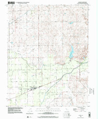
1997 Map of Linden
USGS Topo · Published 2002About this map
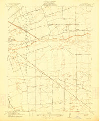
Linden serves as the focal point of this agricultural landscape in the San Joaquin Valley, where a network of irrigation and flood control defines the terrain. The community is situated at the intersection of several local routes, anchored by its High Sch, Jr High Sch, and the Linden Cem to the west. The presence of an Aqueduct and various flood control markers suggests the ongoing management of water resources critical to the surrounding orchards and fields. To the northeast, the smaller settlement of Bellota sits near the Calaveras River and Duck Creek. The mapping reveals a complex hydrological system where Mormon Slough and the Middle Mokelumne River traverse the region, supported by numerous Gaging Stations and an Airway Beacon that once guided regional aviation over this flat valley floor.
Find a feature on this map
41 named features on this map. Tap any name to fly to it.
Don’t see what you’re looking for? This feature index may not catch every label — zoom into the map to look around manually.
Map Details
Editions of this 1997 Linden Map
This is the sole edition of this map. No revisions or reprints were ever made.
Other maps of this area

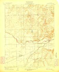
1889 · Jackson
USGS Topo · 1:125,000

1892 · Jackson
USGS Topo · 1:125,000

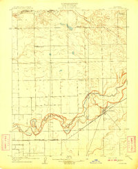
1894 · Lodi
USGS Topo · 1:125,000

1897 · Jackson
USGS Topo · 1:125,000

1902 · Jackson
USGS Topo · 1:125,000

1908 · Waterloo
USGS Topo · 1:31,680
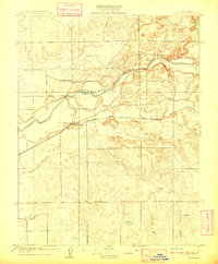
1908 · Linden
USGS Topo · 1:31,680
1908 · Lockeford
USGS Topo · 1:31,680
1909 · Clements
USGS Topo · 1:31,680
1914 · Burnham
USGS Topo · 1:31,680