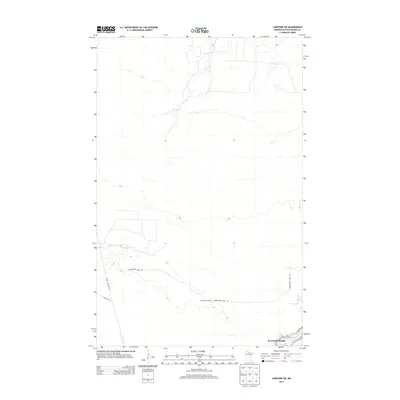
2013 Map of Lindford SW
USGS Topo · Published 2013About this map
Ben Linn Landing sits at the southern edge of this northern Minnesota landscape, where the Big Fork River cuts through the terrain. The area is defined by its forestry and remote camp heritage, evidenced by the presence of Hendrickson Camp and a network of logging and access roads. The road system, including Hendrickson Camp Rd, Toumey Williams Rd, and Forest Rd 177, indicates a landscape primarily managed for timber and seasonal outdoor use. This 2013 survey provides a detailed view of the contour intervals and drainage patterns typical of this part of Koochiching County, reflecting the quiet, rural character of the region before any major modern development altered these traditional access points.
Find a feature on this map
6 named features on this map. Tap any name to fly to it.
Don’t see what you’re looking for? This feature index may not catch every label — zoom into the map to look around manually.
Map Details
Editions of this 2013 Lindford SW Map
This is the sole edition of this map. No revisions or reprints were ever made.
Other maps of this area

1919 · Lundgren
USGS Topo · 1:62,500

1919 · I
USGS Topo · 1:62,500

1919 · Margie
USGS Topo · 1:62,500

1943 · Lindford
USGS Topo · 1:62,500

1954 · Roseau
USGS Topo · 1:250,000

1954 · International Falls
USGS Topo · 1:250,000

1957 · Roseau
USGS Topo · 1:250,000

1957 · International Falls
USGS Topo · 1:250,000

1958 · International Falls
USGS Topo · 1:250,000

1958 · Roseau
USGS Topo · 1:250,000