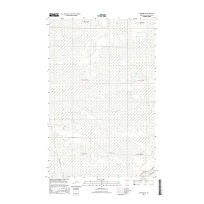
2016 Map of Lindford SW
USGS Topo · Published 2016About this map
The Big Fork River winds through the southeastern corner of this Koochiching County landscape, defining the primary hydrological feature of a region dominated by vast wetland complexes. The map reflects a modern rural survey of northern Minnesota, where the road network is sparse and functional. Only a few corridors, such as Hendrickson Rd and Toomey-Williams Rd, provide access through the extensive public land survey sections. This 2016 data illustrates a terrain where natural drainage patterns and topographical contours dictate human movement, with large swaths of land remaining undeveloped and focused on the preservation of the river corridor and the surrounding forest and marsh environments.
Find a feature on this map
9 named features on this map. Tap any name to fly to it.
Don’t see what you’re looking for? This feature index may not catch every label — zoom into the map to look around manually.
Map Details
Editions of this 2016 Lindford SW Map
This is the sole edition of this map. No revisions or reprints were ever made.
Other maps of this area

1919 · Lundgren
USGS Topo · 1:62,500

1919 · I
USGS Topo · 1:62,500

1919 · Margie
USGS Topo · 1:62,500

1943 · Lindford
USGS Topo · 1:62,500

1954 · Roseau
USGS Topo · 1:250,000

1954 · International Falls
USGS Topo · 1:250,000

1957 · Roseau
USGS Topo · 1:250,000

1957 · International Falls
USGS Topo · 1:250,000

1958 · International Falls
USGS Topo · 1:250,000

1958 · Roseau
USGS Topo · 1:250,000