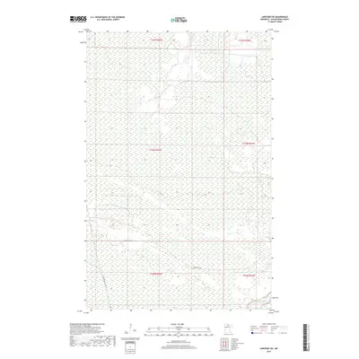
2019 Map of Lindford SW
USGS Topo · Published 2019About this map
The Big Fork River meanders through the northern reaches of this Koochiching County landscape, defining the local hydrology across a series of township and range boundaries. The terrain is characterized by extensive wetland systems typical of the Minnesota Northwoods, with development limited to a sparse network of rural routes. Long, straight passages of Hendrickson Rd and Toomey Williams Rd provide the primary access through these wooded sections, cutting through the Public Land Survey System grids of T155N and T156N. This map captures the area as it appeared in the late 2010s, showing a landscape where natural watercourses and forest management remain the dominant features over human settlement.
Find a feature on this map
9 named features on this map. Tap any name to fly to it.
Don’t see what you’re looking for? This feature index may not catch every label — zoom into the map to look around manually.
Map Details
Editions of this 2019 Lindford SW Map
This is the sole edition of this map. No revisions or reprints were ever made.
Other maps of this area

1919 · Lundgren
USGS Topo · 1:62,500

1919 · I
USGS Topo · 1:62,500

1919 · Margie
USGS Topo · 1:62,500

1943 · Lindford
USGS Topo · 1:62,500

1954 · Roseau
USGS Topo · 1:250,000

1954 · International Falls
USGS Topo · 1:250,000

1957 · Roseau
USGS Topo · 1:250,000

1957 · International Falls
USGS Topo · 1:250,000

1958 · International Falls
USGS Topo · 1:250,000

1958 · Roseau
USGS Topo · 1:250,000