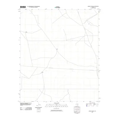
2010 Map of Lindley Ranch
USGS Topo · Published 2010About this map
Lindley Ranch sits at the center of this sparse West Texas landscape, defined by the practical infrastructure of the cattle and water economy. This 2010 survey shows a terrain where movement is dictated by a few critical roads, notably Co Rd 300 and the east-west boundary of Reeves County 440. The isolation of the region is punctuated only by functional landmarks essential for livestock, such as North Windmill and South Windmill. These features indicate the ongoing reliance on groundwater management in Loving County, reflecting a ranching culture that has persisted with little change to its layout for decades.
Find a feature on this map
5 named features on this map. Tap any name to fly to it.
Don’t see what you’re looking for? This feature index may not catch every label — zoom into the map to look around manually.
Map Details
Editions of this 2010 Lindley Ranch Map
This is the sole edition of this map. No revisions or reprints were ever made.
Other maps of this area

1931 · Orla
USGS Topo · 1:62,500

1954 · Pecos
USGS Topo · 1:250,000

1957 · Pecos
USGS Topo · 1:250,000

1961 · Mentone
USGS Topo · 1:24,000

1961 · Anderson Ranch
USGS Topo · 1:24,000

1961 · Orla SE
USGS Topo · 1:24,000

1961 · Lindley Ranch
USGS Topo · 1:24,000

1961 · Narrow Bow Draw
USGS Topo · 1:24,000

1968 · Orla NE
USGS Topo · 1:24,000

1969 · Kyle Ranch
USGS Topo · 1:24,000