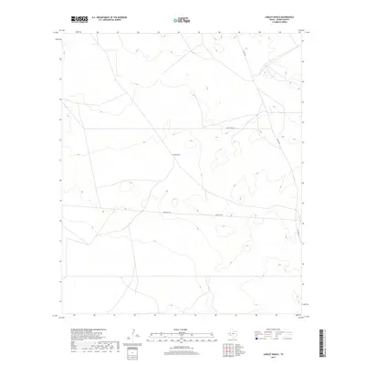
2019 Map of Lindley Ranch
USGS Topo · Published 2019About this map
Lindley Ranch serves as the central focal point of this arid West Texas landscape in Loving County. Situated amidst a network of sparsely distributed roads, the ranch reflects the expansive cattle-country heritage of the region. The map details a specialized transportation network required for such a remote area, including Port Road 3015, Co Rd 300, and Reeves Co 440. The terrain is characterized by subtle elevation changes and drainage patterns typical of the Permian Basin, where infrastructure is often dictated by ranching boundaries and energy transit. This 2019 survey provides a precise record of the land use and accessibility in one of the least densely populated corners of the state.
Find a feature on this map
4 named features on this map. Tap any name to fly to it.
Don’t see what you’re looking for? This feature index may not catch every label — zoom into the map to look around manually.
Map Details
Editions of this 2019 Lindley Ranch Map
This is the sole edition of this map. No revisions or reprints were ever made.
Other maps of this area

1931 · Orla
USGS Topo · 1:62,500

1954 · Pecos
USGS Topo · 1:250,000

1957 · Pecos
USGS Topo · 1:250,000

1961 · Mentone
USGS Topo · 1:24,000

1961 · Anderson Ranch
USGS Topo · 1:24,000

1961 · Orla SE
USGS Topo · 1:24,000

1961 · Lindley Ranch
USGS Topo · 1:24,000

1961 · Narrow Bow Draw
USGS Topo · 1:24,000

1968 · Orla NE
USGS Topo · 1:24,000

1969 · Kyle Ranch
USGS Topo · 1:24,000