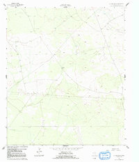
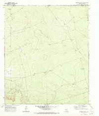
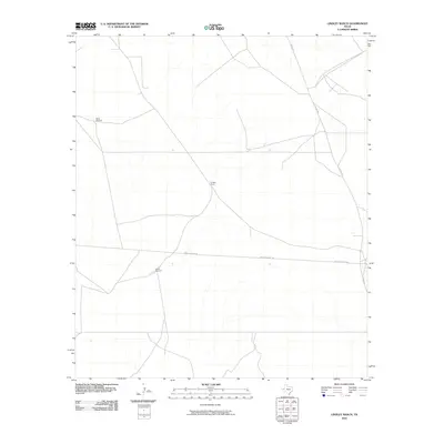
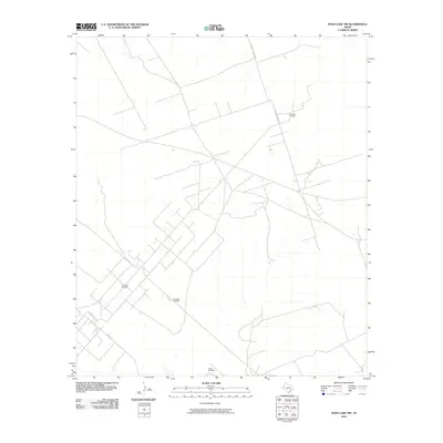
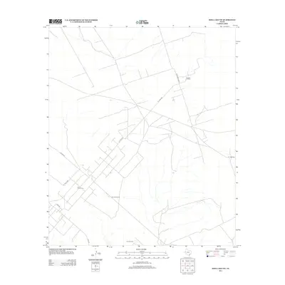
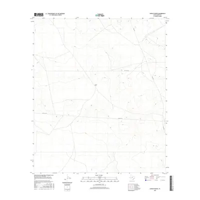
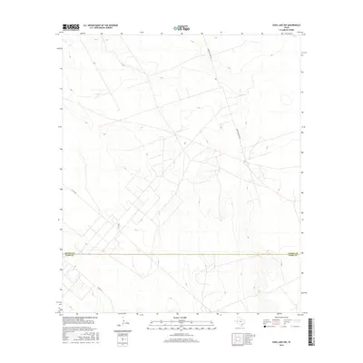
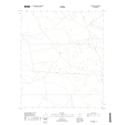
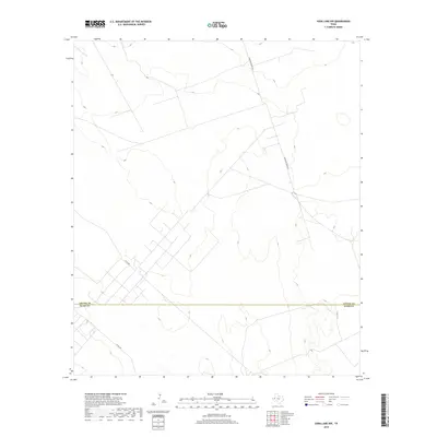
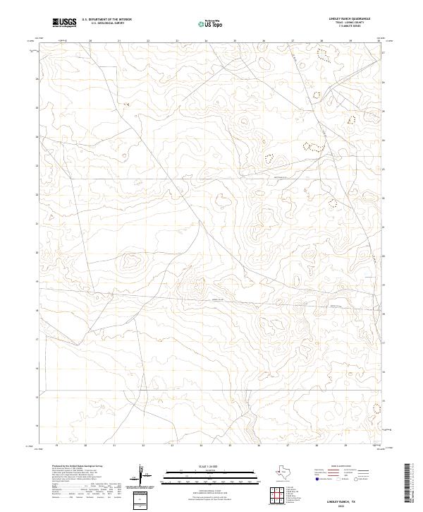
1961 Map of Lindley Ranch
USGS Topo · Published 1991About this map
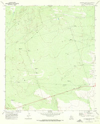
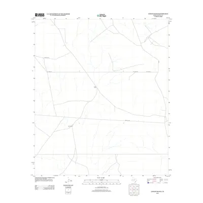
Lindley Ranch sits at the heart of this West Texas landscape, surrounded by the essential infrastructure of ranching and resource extraction. Surveyed in the early 1960s, the map reveals a terrain defined by water management and energy development, featuring family-named landmarks like North Windmill and South Windmill. These structures, alongside several Oil Wells, underscore the dual-economic nature of Loving County, where traditional cattle ranching and modern petroleum interests occupy the same arid ground. A prominent Pipeline cuts across the contours, while isolated Quarries suggest local industrial activity. The presence of numerous Drill Holes indicates a period of active exploration and subsurface study during this era of Texas history.
Find a feature on this map
11 named features on this map. Tap any name to fly to it.
Don’t see what you’re looking for? This feature index may not catch every label — zoom into the map to look around manually.
Map Details
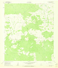
Editions of this 1961 Lindley Ranch Map
2 editions found
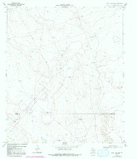
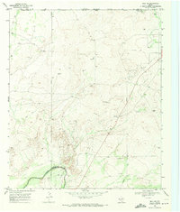
Historical Maps of Loving County Through Time
48 maps found
1961 Lindley Ranch
Loving County, TX
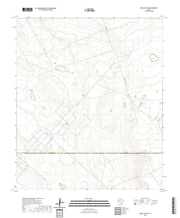
1967 Soda Lake NW
Loving County, TX
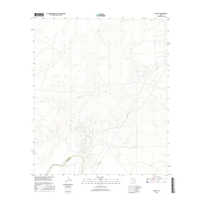
1968 Orla NE
Loving County, TX
1969 Cheyenne Draw SW
Loving County, TX
1969 Kyle Ranch
Loving County, TX
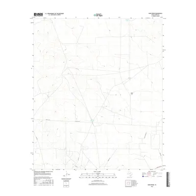
1969 Rudd Draw
Loving County, TX
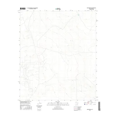
1969 Rudd Draw NE
Loving County, TX
1970 Brunson Ranch
Loving County, TX
2010 Brunson Ranch
Loving County, TX
2010 Cheyenne Draw SW
Loving County, TX
2010 Kyle Ranch
Loving County, TX
2010 Lindley Ranch
Loving County, TX
2010 Orla NE
Loving County, TX
2010 Rudd Draw
Loving County, TX
2010 Rudd Draw NE
Loving County, TX
2010 Soda Lake NW
Loving County, TX
2012 Brunson Ranch
Loving County, TX
2012 Cheyenne Draw SW
Loving County, TX
2012 Kyle Ranch
Loving County, TX
2012 Lindley Ranch
Loving County, TX
2012 Orla NE
Loving County, TX
2012 Rudd Draw NE
Loving County, TX
2013 Rudd Draw
Loving County, TX
2013 Soda Lake NW
Loving County, TX
2016 Brunson Ranch
Loving County, TX
2016 Cheyenne Draw SW
Loving County, TX
2016 Kyle Ranch
Loving County, TX
2016 Lindley Ranch
Loving County, TX
2016 Orla NE
Loving County, TX
2016 Rudd Draw
Loving County, TX
2016 Rudd Draw NE
Loving County, TX
2016 Soda Lake NW
Loving County, TX
2019 Brunson Ranch
Loving County, TX
2019 Cheyenne Draw SW
Loving County, TX
2019 Kyle Ranch
Loving County, TX
2019 Lindley Ranch
Loving County, TX
2019 Orla NE
Loving County, TX
2019 Rudd Draw
Loving County, TX
2019 Rudd Draw NE
Loving County, TX
2019 Soda Lake NW
Loving County, TX
2022 Brunson Ranch
Loving County, TX
2022 Cheyenne Draw SW
Loving County, TX
2022 Kyle Ranch
Loving County, TX
2022 Lindley Ranch
Loving County, TX
2022 Orla NE
Loving County, TX
2022 Rudd Draw
Loving County, TX
2022 Rudd Draw NE
Loving County, TX
2022 Soda Lake NW
Loving County, TX