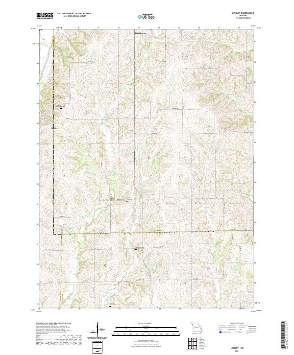
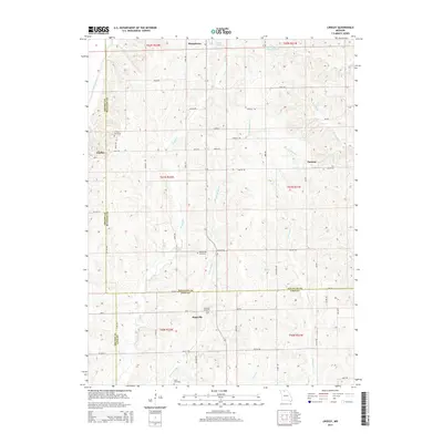
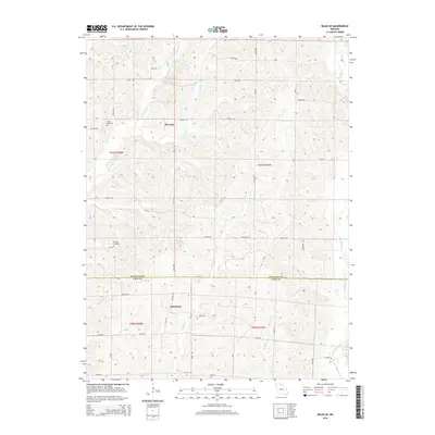
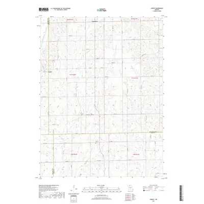
2021 Map of Lindley
USGS Topo · Published 2021About this map
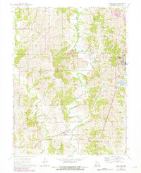
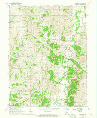
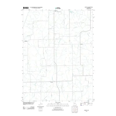
Lindley sits along the western edge of this landscape, a quiet settlement located near the Lindley Cem and the waters of Medicine Creek. The terrain is defined by a dense network of winding watercourses, including the north-south flow of Muddy Cr and Little Muddy Cr, which carve through the rural countryside. These drainages shaped the early development of the region, dictating the placement of farmsteads and rural roads that connect local points of interest like Humphreys to the north.
Find a feature on this map
52 named features on this map. Tap any name to fly to it.
Don’t see what you’re looking for? This feature index may not catch every label — zoom into the map to look around manually.
Map Details
Editions of this 2021 Lindley Map
This is the sole edition of this map. No revisions or reprints were ever made.
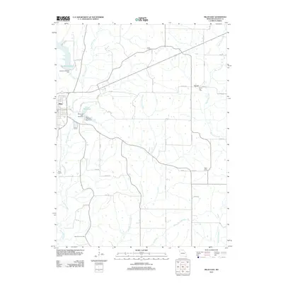
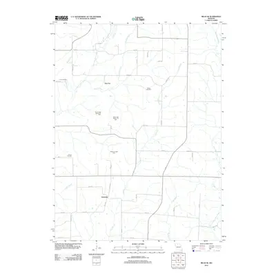
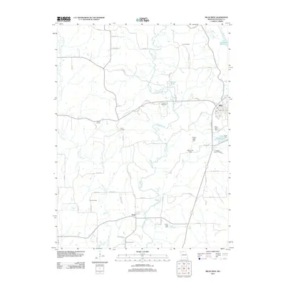
Historical Maps of Humphreys Through Time
31 maps found
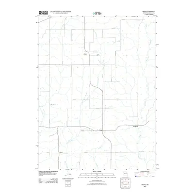
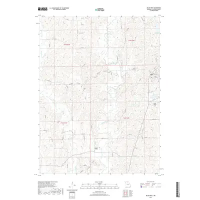
1963 Mystic
Sullivan County, MO
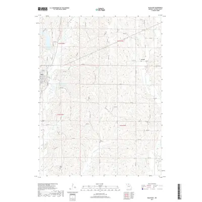
1964 Milan East
Sullivan County, MO
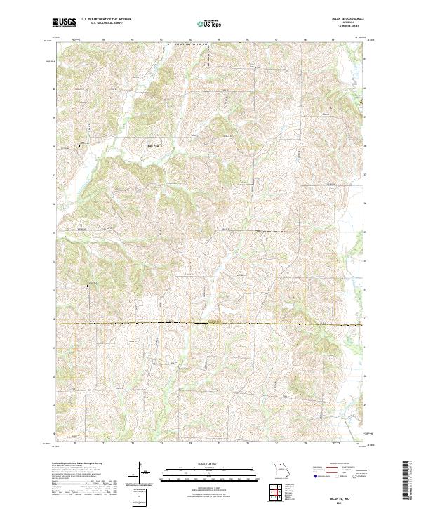
1964 Milan SE
Sullivan County, MO
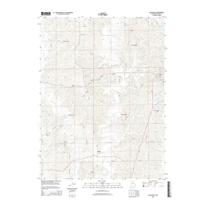
1964 Milan West
Sullivan County, MO
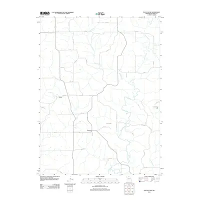
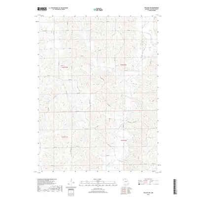
1964 Pollock SW
Sullivan County, MO
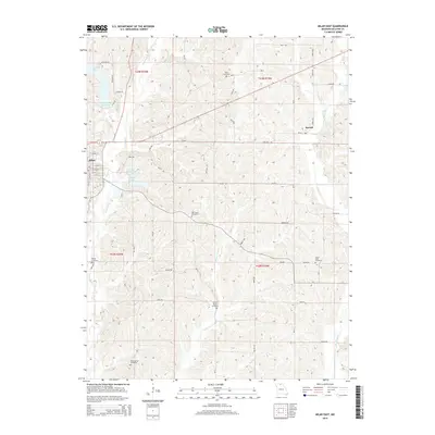
1974 Green City SW
Sullivan County, MO
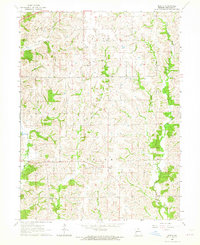
1984 Lindley
Sullivan County, MO
2012 Lindley
Sullivan County, MO
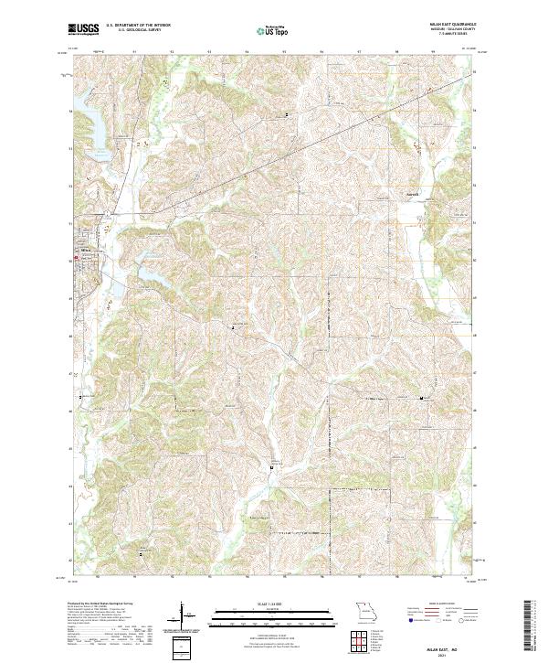
2012 Milan East
Sullivan County, MO
2012 Milan SE
Sullivan County, MO
2012 Milan West
Sullivan County, MO
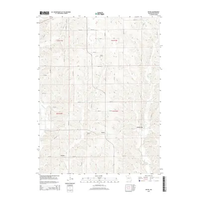
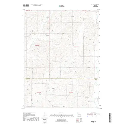
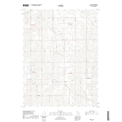
2012 Mystic
Sullivan County, MO
2012 Pollock SW
Sullivan County, MO
2014 Lindley
Sullivan County, MO
2014 Milan East
Sullivan County, MO
2014 Milan SE
Sullivan County, MO
2014 Pollock SW
Sullivan County, MO
2015 Milan West
Sullivan County, MO
2015 Mystic
Sullivan County, MO
2017 Lindley
Sullivan County, MO
2017 Milan East
Sullivan County, MO
2017 Milan SE
Sullivan County, MO
2017 Milan West
Sullivan County, MO
2017 Mystic
Sullivan County, MO
2017 Pollock SW
Sullivan County, MO
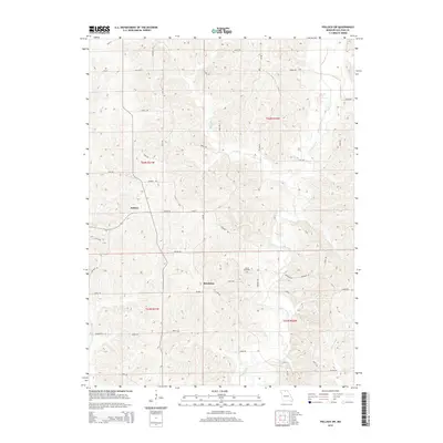
2021 Lindley
Sullivan County, MO
2021 Milan East
Sullivan County, MO
2021 Milan SE
Sullivan County, MO
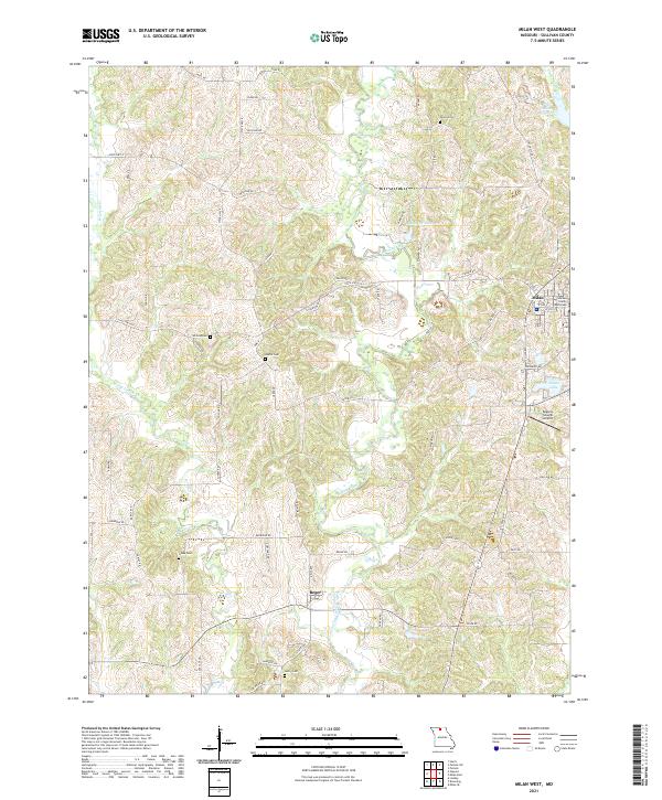
2021 Milan West
Sullivan County, MO
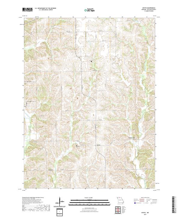
2021 Mystic
Sullivan County, MO
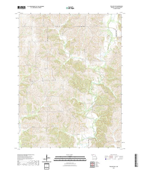
2021 Pollock SW
Sullivan County, MO