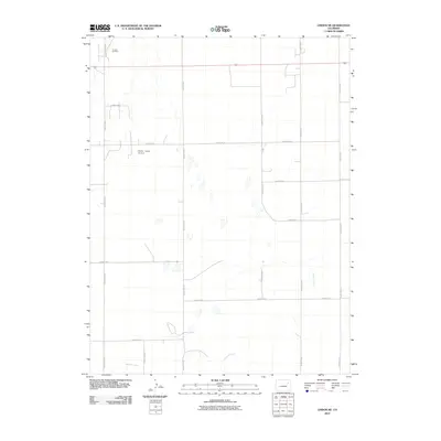
2010 Map of Lindon NE
USGS Topo · Published 2010About this map
Lindon Oil Field marks the northern edge of this high plains landscape in Washington County, where industrial footprints meet an expansive agricultural grid. The terrain is defined by its methodical organization, with north-south routes like County Road U and County Road Z intersecting numbered east-west corridors. This 2010 survey illustrates the modernization of rural Colorado, featuring the Decker Farms Airport as a localized aviation hub. Gordon Creek provides the primary natural relief, winding through the southern and eastern sections. The map reveals the persistence of the rectangular survey system, where every mile is accounted for by a named county road, supporting both the energy sector and family farm operations.
Find a feature on this map
16 named features on this map. Tap any name to fly to it.
Don’t see what you’re looking for? This feature index may not catch every label — zoom into the map to look around manually.
Map Details
Editions of this 2010 Lindon NE Map
This is the sole edition of this map. No revisions or reprints were ever made.
Other maps of this area

1954 · Limon
USGS Topo · 1:250,000

1957 · Limon
USGS Topo · 1:250,000

1958 · Limon
USGS Topo · 1:250,000

1973 · Dry Gulch
USGS Topo · 1:24,000

1973 · Lindon NE
USGS Topo · 1:24,000

1973 · Antelope Creek SE
USGS Topo · 1:24,000

1973 · Lindon SW
USGS Topo · 1:24,000

1973 · Lindon
USGS Topo · 1:24,000

1973 · Shaw
USGS Topo · 1:24,000

1977 · Thurman
USGS Topo · 1:24,000