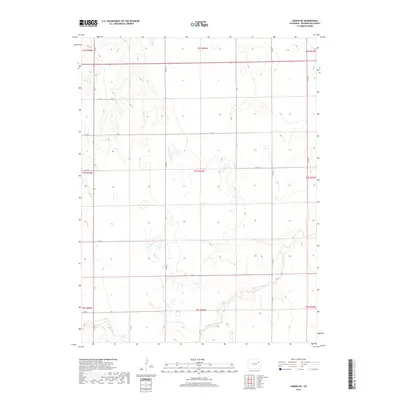
2019 Map of Lindon NE
USGS Topo · Published 2019About this map
Gordon Creek meanders through the southern portion of this high plains landscape in Washington County, providing the primary hydrological feature in an otherwise arid region defined by section lines and agricultural allotments. The 2019 survey illustrates a strictly organized grid of county roads, such as Co Rd U and Co Rd AA, which delineate the boundaries of the Public Land Survey System townships and ranges. This network of thoroughfares, including Co Rd 11 and Co Rd 7, reflects the enduring legacy of the Homestead Act, where land was methodically partitioned for settlement and dryland farming. The map covers a transition of townships from t3s r53w down through t5s r53w, showing the subtle topographic variations and drainage patterns that dictate the placement of local infrastructure in this part of northeastern Colorado.
Find a feature on this map
27 named features on this map. Tap any name to fly to it.
Don’t see what you’re looking for? This feature index may not catch every label — zoom into the map to look around manually.
Map Details
Editions of this 2019 Lindon NE Map
This is the sole edition of this map. No revisions or reprints were ever made.
Other maps of this area

1954 · Limon
USGS Topo · 1:250,000

1957 · Limon
USGS Topo · 1:250,000

1958 · Limon
USGS Topo · 1:250,000

1973 · Dry Gulch
USGS Topo · 1:24,000

1973 · Lindon NE
USGS Topo · 1:24,000

1973 · Antelope Creek SE
USGS Topo · 1:24,000

1973 · Lindon SW
USGS Topo · 1:24,000

1973 · Lindon
USGS Topo · 1:24,000

1973 · Shaw
USGS Topo · 1:24,000

1977 · Thurman
USGS Topo · 1:24,000