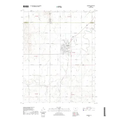
2018 Map of Lindsborg
USGS Topo · Published 2018About this map
Lindsborg serves as the central hub of this landscape, situated along the meandering path of the Smoky Hill River. The city's grid is dense with named streets, while the surrounding rural areas are marked by significant landmarks like the Smoky Hill Buttes to the north, which feature the Sunset Switchbacks. This 2018 survey reveals a network of modern paths, specifically the Valkommen Trail and Meadowlark Trail, which follow the old rail corridors that once drove the region's economy. Small rural settlements like Jenkins appear along Smoky Valley Rd, illustrating the persistence of local place-names in the Kansas plains. Genealogists will find several burial sites recorded, including Smoky Hill Cem, Elmwood Cem, and the more remote Koon Cem to the south. The hydrography is defined by numerous tributaries such as Indian Cr, Paint Cr, and Dry Cr, which drain into the river basin.
Find a feature on this map
46 named features on this map. Tap any name to fly to it.
Don’t see what you’re looking for? This feature index may not catch every label — zoom into the map to look around manually.
Map Details
Editions of this 2018 Lindsborg Map
This is the sole edition of this map. No revisions or reprints were ever made.
Other maps of this area

1891 · Hutchinson
USGS Topo · 1:125,000

1892 · Salina
USGS Topo · 1:125,000

1893 · Hutchinson
USGS Topo · 1:125,000

1942 · Salina
USGS Topo · 1:125,000

1955 · Assaria
USGS Topo · 1:24,000

1955 · Smolan
USGS Topo · 1:24,000

1955 · Falun
USGS Topo · 1:24,000

1955 · Hutchinson
USGS Topo · 1:250,000

1959 · Hutchinson
USGS Topo · 1:250,000

1964 · Marquette
USGS Topo · 1:24,000