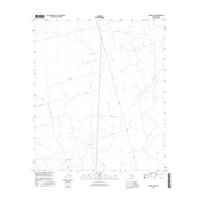
2016 Map of Lindsey Ranch
USGS Topo · Published 2016About this map
Lindsey Ranch serves as the primary named landmark in this expanse of Upton County, Texas. The landscape is defined by a systematic grid of county roads and industrial corridors that reflect the region's connection to petroleum extraction and ranching. Major thoroughfares like Hwy 329 and Cord 112-Shell Rd intersect the terrain, providing essential transit for local operations.
Find a feature on this map
14 named features on this map. Tap any name to fly to it.
Don’t see what you’re looking for? This feature index may not catch every label — zoom into the map to look around manually.
Map Details
Editions of this 2016 Lindsey Ranch Map
This is the sole edition of this map. No revisions or reprints were ever made.
Other maps of this area

1928 · Crane
USGS Topo · 1:125,000

1928 · Rankin
USGS Topo · 1:125,000

1954 · Pecos
USGS Topo · 1:250,000

1954 · San Angelo
USGS Topo · 1:250,000

1957 · Pecos
USGS Topo · 1:250,000

1958 · San Angelo
USGS Topo · 1:250,000

1965 · San Angelo
USGS Topo · 1:250,000

1968 · Benge Corner SE
USGS Topo · 1:24,000

1968 · Midkiff SW
USGS Topo · 1:24,000

1968 · Midkiff SE
USGS Topo · 1:24,000