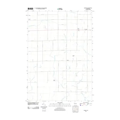
2010 Map of Lindsey
USGS Topo · Published 2010About this map
The settlement of Lindsey sits at the intersection of a grid-based road network and the natural hydrology of central Wisconsin in this 2010 survey. This area of Wood and Clark Counties is defined by the headwaters of several significant drainages, including the East Fork Black River and the South Branch Yellow River. The landscape reveals a strong agricultural and community tradition, evidenced by numerous local burial grounds such as Yolo Cemetery, Grace Lutheran Cemetery, and the Pine Circle Cemetery.
Find a feature on this map
40 named features on this map. Tap any name to fly to it.
Don’t see what you’re looking for? This feature index may not catch every label — zoom into the map to look around manually.
Map Details
Editions of this 2010 Lindsey Map
This is the sole edition of this map. No revisions or reprints were ever made.
Other maps of this area

1953 · Eau Claire
USGS Topo · 1:250,000

1954 · Granton
USGS Topo · 1:62,500

1954 · Marshfield
USGS Topo · 1:62,500

1957 · Pittsville
USGS Topo · 1:48,000

1957 · City Point
USGS Topo · 1:48,000

1958 · Eau Claire
USGS Topo · 1:250,000

1964 · Eau Claire
USGS Topo · 1:250,000

1967 · Pittsville
USGS Topo · 1:62,500

1970 · City Point NE
USGS Topo · 1:24,000
1970 · City Point NW
USGS Topo · 1:24,000