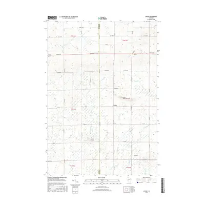
2015 Map of Lindsey
USGS Topo · Published 2015About this map
The border of Clark and Wood counties defines this central Wisconsin landscape, where the agricultural community of Lindsey sits south of Nasonville. This modern survey illustrates a topography of scattered woodlots and rolling fields drained by the E Fork Black River and smaller tributaries like Rocky Cr and Toms Cr. Historically significant landmarks for genealogists and local historians include Grace Lutheran Cem and Rock Cem, both situated along Freemont Rd in the northern portion of the quadrangle.
Find a feature on this map
40 named features on this map. Tap any name to fly to it.
Don’t see what you’re looking for? This feature index may not catch every label — zoom into the map to look around manually.
Map Details
Editions of this 2015 Lindsey Map
This is the sole edition of this map. No revisions or reprints were ever made.
Other maps of this area

1953 · Eau Claire
USGS Topo · 1:250,000

1954 · Granton
USGS Topo · 1:62,500

1954 · Marshfield
USGS Topo · 1:62,500

1957 · Pittsville
USGS Topo · 1:48,000

1957 · City Point
USGS Topo · 1:48,000

1958 · Eau Claire
USGS Topo · 1:250,000

1964 · Eau Claire
USGS Topo · 1:250,000

1967 · Pittsville
USGS Topo · 1:62,500

1970 · City Point NE
USGS Topo · 1:24,000
1970 · City Point NW
USGS Topo · 1:24,000