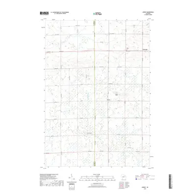
2018 Map of Lindsey
USGS Topo · Published 2018About this map
The E Fork Black River cuts through this landscape on the border of Clark and Wood counties, defining the character of the central Wisconsin countryside. The small settlement of Lindsey sits near the Lindsey Bluffs, while the community of Nasonville occupies the northeastern corner of the map. These townships are marked by a regular grid of county highways and local roads named for families and historical figures, such as MacArthur Rd and Poertner Rd, indicating a well-established agricultural and rural residential pattern.
Find a feature on this map
45 named features on this map. Tap any name to fly to it.
Don’t see what you’re looking for? This feature index may not catch every label — zoom into the map to look around manually.
Map Details
Editions of this 2018 Lindsey Map
This is the sole edition of this map. No revisions or reprints were ever made.
Other maps of this area

1953 · Eau Claire
USGS Topo · 1:250,000

1954 · Granton
USGS Topo · 1:62,500

1954 · Marshfield
USGS Topo · 1:62,500

1957 · Pittsville
USGS Topo · 1:48,000

1957 · City Point
USGS Topo · 1:48,000

1958 · Eau Claire
USGS Topo · 1:250,000

1964 · Eau Claire
USGS Topo · 1:250,000

1967 · Pittsville
USGS Topo · 1:62,500

1970 · City Point NE
USGS Topo · 1:24,000
1970 · City Point NW
USGS Topo · 1:24,000