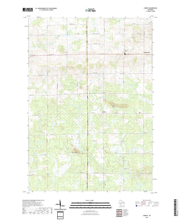
2022 Map of Lindsey
USGS Topo · Published 2022About this map
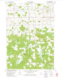
Lindsey and Nasonville anchor this portion of central Wisconsin, where the rural landscape is defined by the winding course of the E Fork Black River and its numerous tributaries. Settled along the border of Clark and Wood Counties, the area features a network of section-line roads like MacArthur RD and Starr RD that serve as the backbone for local farming and forestry. Significant local landmarks include Lindsey Bluffs and Epsey Mound, which rise above the surrounding wetlands and drainage basins of Rocky Cr and Rocky Run.
Find a feature on this map
51 named features on this map. Tap any name to fly to it.
Don’t see what you’re looking for? This feature index may not catch every label — zoom into the map to look around manually.
Map Details
Editions of this 2022 Lindsey Map
This is the sole edition of this map. No revisions or reprints were ever made.
Historical Maps of Fremont Through Time
18 maps found
1970 City Point NE
Wood County, WI

1970 City Point
Wood County, WI
1970 Sherry
Wood County, WI
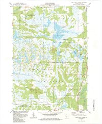
1979 Lake Manakiki
Wood County, WI
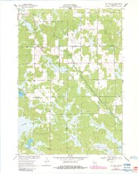
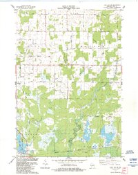
1979 Lindsey
Wood County, WI
1984 Lake Dexter
Wood County, WI
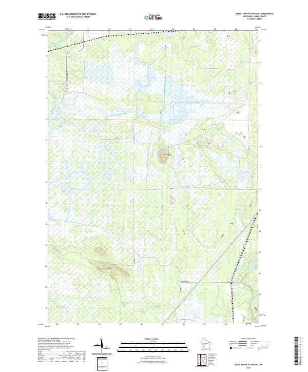
1984 Quail Point Flowage
Wood County, WI
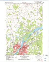
1984 Wisconsin Rapids North
Wood County, WI

1984 Wisconsin Rapids South
Wood County, WI
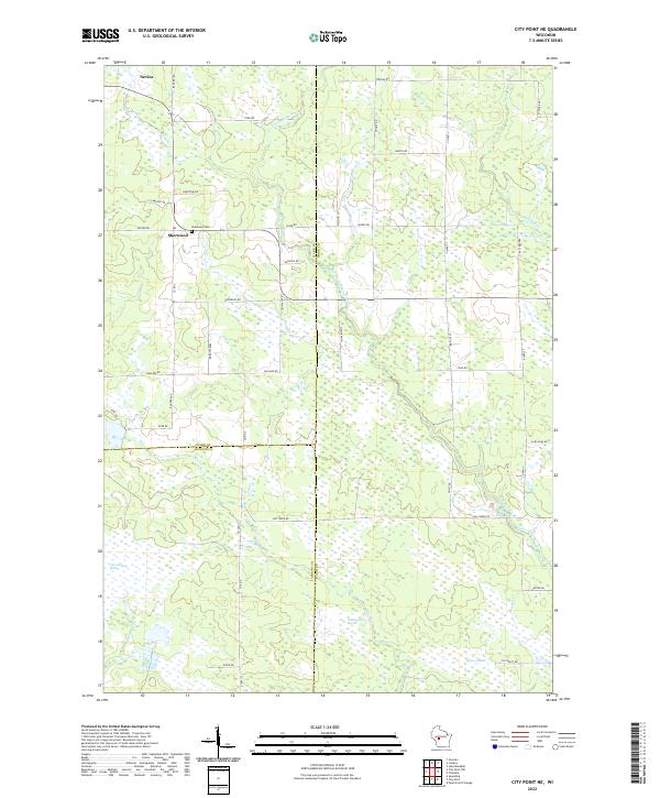
2022 City Point NE
Wood County, WI
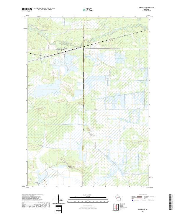
2022 City Point
Wood County, WI
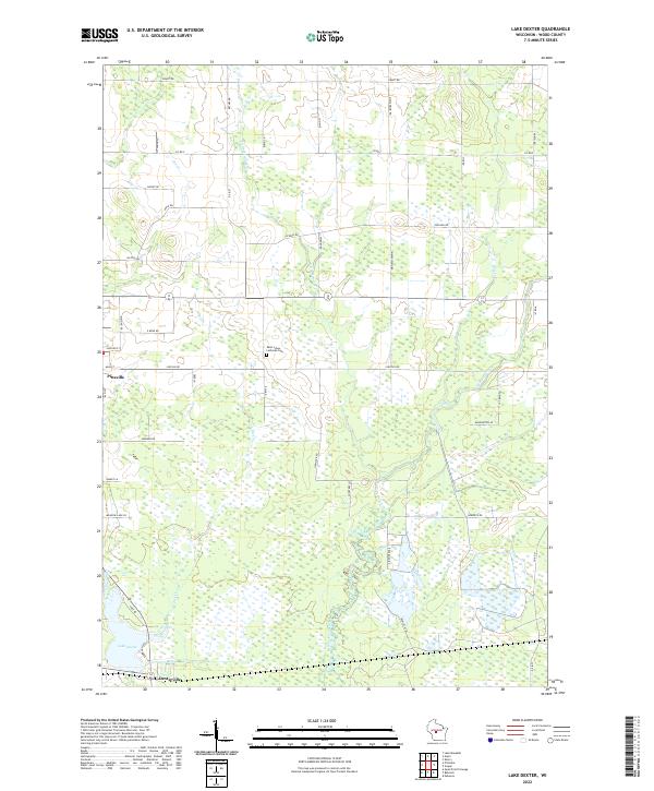
2022 Lake Dexter
Wood County, WI
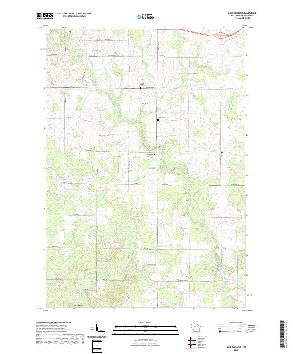
2022 Lake Manakiki
Wood County, WI
2022 Lindsey
Wood County, WI
2022 Quail Point Flowage
Wood County, WI
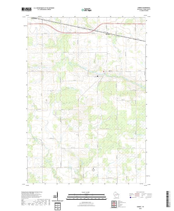
2022 Sherry
Wood County, WI
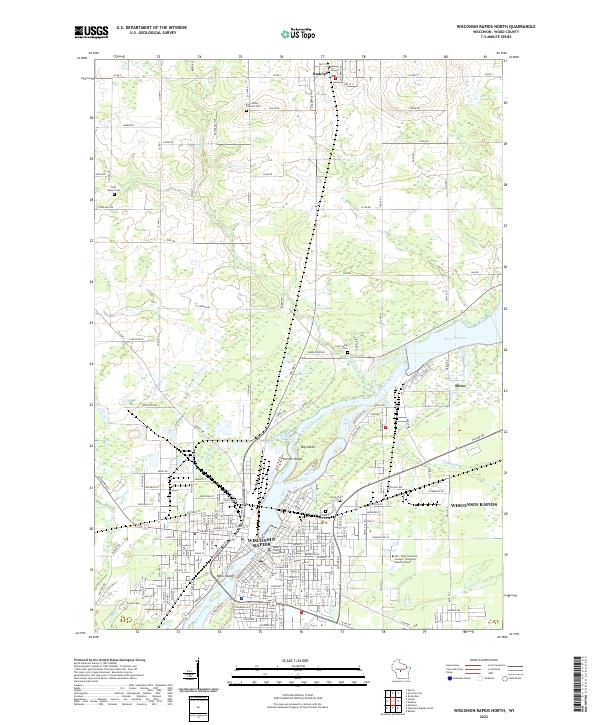
2022 Wisconsin Rapids North
Wood County, WI
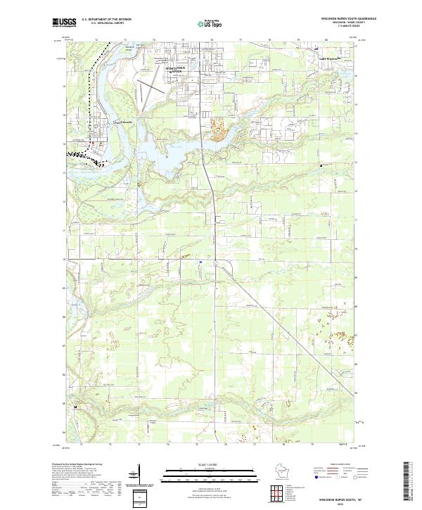
2022 Wisconsin Rapids South
Wood County, WI