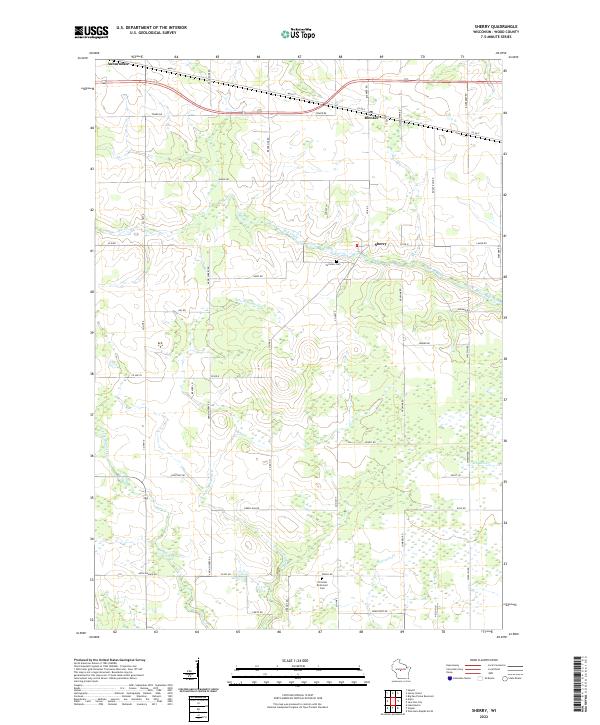
2022 Map of Sherry
USGS Topo · Published 2022About this map
The agrarian landscape of central Wood County is defined by the rural settlements of Auburndale, Blenker, and Sherry. This 2022 survey captures the region's character as a network of farm roads and dairy lands, organized around the township lines of T24N R4E and T24N R5E. The drainage patterns of the area are dictated by several branches of the local watershed, including the winding Mill Creek and the headwaters of Moccasin Cr. Genealogy researchers can locate family sites near the Fairview Cem or the Christian Reformed Cem in the southern portion of the quadrangle.
Find a feature on this map
57 named features on this map. Tap any name to fly to it.
Don’t see what you’re looking for? This feature index may not catch every label — zoom into the map to look around manually.
Map Details
Editions of this 2022 Sherry Map
This is the sole edition of this map. No revisions or reprints were ever made.
Other maps of this area

1953 · Eau Claire
USGS Topo · 1:250,000

1954 · Marshfield
USGS Topo · 1:62,500

1955 · Green Bay
USGS Topo · 1:250,000

1956 · Milladore
USGS Topo · 1:48,000

1957 · Wisconsin Rapids
USGS Topo · 1:48,000

1957 · Pittsville
USGS Topo · 1:48,000

1958 · Eau Claire
USGS Topo · 1:250,000

1964 · Eau Claire
USGS Topo · 1:250,000

1967 · Wisconsin Rapids
USGS Topo · 1:62,500

1967 · Pittsville
USGS Topo · 1:62,500