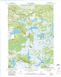
1970 Map of City Point
USGS Topo · Published 1985About this map
City Point serves as the primary hub in this central Wisconsin landscape, situated along the Green Bay and Western RR. The terrain is defined by an intricate network of wetlands and hydraulic engineering, where numerous Cranberry Bogs are supported by drainage features such as Bissig Ditch, North Floater Ditch, and Remington Ditch. To the north, the East Fork Black River and its tributaries like Ludwig Creek wind through the marshy bottomlands, punctuated by elevated landforms such as Van Tassel Island. Significant portions of the quadrangle are dedicated to conservation and forestry, including the Wood County Wildlife Area and Wood County Forest. Genealogists will find the Martyrs Cem and City Point Cem near the town center, while local history is reflected in the numerous sandpits and gravel pits that suggest a history of resource extraction alongside the region's agricultural and wildlife management activities.
Find a feature on this map
37 named features on this map. Tap any name to fly to it.
Don’t see what you’re looking for? This feature index may not catch every label — zoom into the map to look around manually.
Map Details
Editions of this 1970 City Point Map
3 editions found
Other maps of this area

1953 · Eau Claire
USGS Topo · 1:250,000

1957 · Pittsville
USGS Topo · 1:48,000

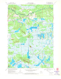
1957 · City Point
USGS Topo · 1:48,000

1958 · Eau Claire
USGS Topo · 1:250,000

1958 · Necedah
USGS Topo · 1:48,000

1958 · Wyeville
USGS Topo · 1:48,000

1964 · Eau Claire
USGS Topo · 1:250,000

1967 · Pittsville
USGS Topo · 1:62,500
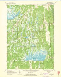
1969 · Finley
USGS Topo · 1:24,000

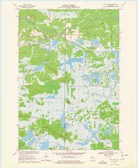
1970 · City Point NE
USGS Topo · 1:24,000