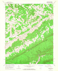
1965 Map of Lindside
USGS Topo · Published 1967About this map
Lindside and the high ridges of Peters Mountain dominate this mid-1960s survey along the West Virginia and Virginia border. The landscape is defined by the sharp parallel ridges of the Appalachian Valley and Ridge province, where the Norfolk and Western railway follows the lower elevations near Goldbond and Olean. Rural community life is anchored by numerous small country churches and family burial grounds, such as Coulter Chapel, Pine Grove Ch, and the Karnes Cem located near Rich and Crooked Creek.
Find a feature on this map
51 named features on this map. Tap any name to fly to it.
Don’t see what you’re looking for? This feature index may not catch every label — zoom into the map to look around manually.
Map Details
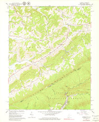
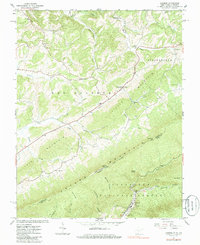
Editions of this 1965 Lindside Map
3 editions found
Other maps of this area

1887 · Hinton
USGS Topo · 1:125,000

1890 · Dublin
USGS Topo · 1:125,000

1891 · Dublin
USGS Topo · 1:125,000

1892 · Hinton
USGS Topo · 1:125,000

1912 · Big Bend
USGS Topo · 1:62,500

1913 · Peterstown
USGS Topo · 1:48,000

1914 · Big Bend
USGS Topo · 1:62,500

1916 · Peterstown
USGS Topo · 1:62,500

1921 · Alderson
USGS Topo · 1:48,000

1923 · Pearisburg
USGS Topo · 1:62,500