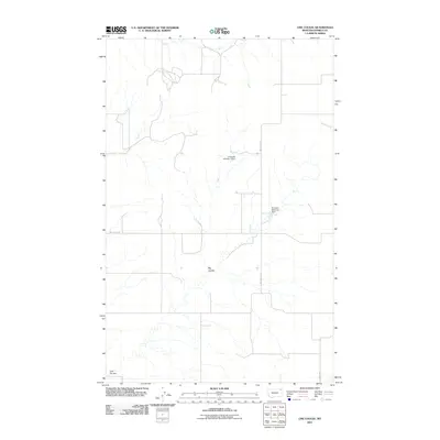
2011 Map of Line Coulee
USGS Topo · Published 2011About this map
Big Coulee and Line Coulee carve through this section of the High Plains, illustrating the drainage patterns that define the remote landscape of Daniels County. This 2011 survey by the U.S. Geological Survey captures a sparsely populated region where water management is central to the land's utility, marked by the presence of the Lindquest Number 1 Dam and the Danelson Reservoir Dam. In the northeast, Smoke Creek meanders toward the border, while a minimalist network of gravel and local routes, such as Line Coulee Rd and School Rd, provides the only overland access. The map reveals an area defined more by its natural topography and localized hydraulic infrastructure than by any dense human settlement.
Find a feature on this map
7 named features on this map. Tap any name to fly to it.
Don’t see what you’re looking for? This feature index may not catch every label — zoom into the map to look around manually.
Map Details
Editions of this 2011 Line Coulee Map
This is the sole edition of this map. No revisions or reprints were ever made.
Other maps of this area

1954 · Wolf Point
USGS Topo · 1:250,000

1958 · Wolf Point
USGS Topo · 1:250,000

1973 · Madoc
USGS Topo · 1:24,000

1973 · Flaxville
USGS Topo · 1:24,000

1973 · Bredette
USGS Topo · 1:24,000

1973 · Line Coulee
USGS Topo · 1:24,000

1973 · Scobey
USGS Topo · 1:24,000

1973 · Pleasant Prairie NW
USGS Topo · 1:24,000

1973 · Nielsen Coulee
USGS Topo · 1:24,000

1973 · Pleasant Prairie SW
USGS Topo · 1:24,000