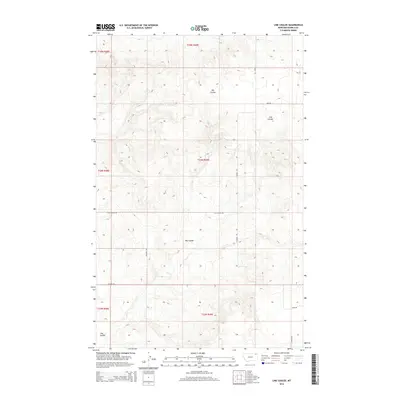
2014 Map of Line Coulee
USGS Topo · Published 2014About this map
The rolling plains of Northeastern Montana define this landscape, dominated by the winding drainage systems of Big Coulee and Line Coulee. In this rural expanse within the Poplar District, the pattern of human activity is primarily etched into the land via a grid of access roads that follow the township and range lines. Key thoroughfares such as S Madoc Rd and Line Coulee Rd provide the primary infrastructure for this ranching and farming territory. The map highlights the sparse nature of high-plains settlement, where large sections of land are punctuated only by the occasional homestead or rural landmark, such as those found along School Rd and Tade Rd. This survey provides a precise look at the drainage topography and the 2014 state of development in Daniels and Roosevelt counties.
Find a feature on this map
16 named features on this map. Tap any name to fly to it.
Don’t see what you’re looking for? This feature index may not catch every label — zoom into the map to look around manually.
Map Details
Editions of this 2014 Line Coulee Map
This is the sole edition of this map. No revisions or reprints were ever made.
Other maps of this area

1954 · Wolf Point
USGS Topo · 1:250,000

1958 · Wolf Point
USGS Topo · 1:250,000

1973 · Madoc
USGS Topo · 1:24,000

1973 · Flaxville
USGS Topo · 1:24,000

1973 · Bredette
USGS Topo · 1:24,000

1973 · Line Coulee
USGS Topo · 1:24,000

1973 · Scobey
USGS Topo · 1:24,000

1973 · Pleasant Prairie NW
USGS Topo · 1:24,000

1973 · Nielsen Coulee
USGS Topo · 1:24,000

1973 · Pleasant Prairie SW
USGS Topo · 1:24,000