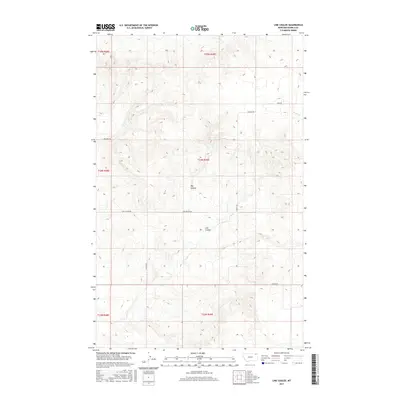
2017 Map of Line Coulee
USGS Topo · Published 2017About this map
Big Coulee and Line Coulee define the drainage patterns of this Daniels County landscape, where the high plains of northeastern Montana are carved by seasonal watercourses. The 2017 terrain is characterized by a sparse, grid-based road network designed for large-scale agricultural and ranching access, including Line Coulee Rd and Wolfard Rd. In the northeastern corner, the headwaters of Smoke Cr begin their descent, while the surrounding land is strictly partitioned into township and range blocks such as t34n r49e. The map reflects a modern era of land management, emphasizing the topographical contours and public land survey system divisions that have governed this region since the original homesteading period. Named local routes like Wigger Rd and S Madoc Rd provide the primary links between the isolated sections of this rural district.
Find a feature on this map
14 named features on this map. Tap any name to fly to it.
Don’t see what you’re looking for? This feature index may not catch every label — zoom into the map to look around manually.
Map Details
Editions of this 2017 Line Coulee Map
This is the sole edition of this map. No revisions or reprints were ever made.
Other maps of this area

1954 · Wolf Point
USGS Topo · 1:250,000

1958 · Wolf Point
USGS Topo · 1:250,000

1973 · Madoc
USGS Topo · 1:24,000

1973 · Flaxville
USGS Topo · 1:24,000

1973 · Bredette
USGS Topo · 1:24,000

1973 · Line Coulee
USGS Topo · 1:24,000

1973 · Scobey
USGS Topo · 1:24,000

1973 · Pleasant Prairie NW
USGS Topo · 1:24,000

1973 · Nielsen Coulee
USGS Topo · 1:24,000

1973 · Pleasant Prairie SW
USGS Topo · 1:24,000