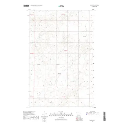
2020 Map of Line Coulee
USGS Topo · Published 2020About this map
Big Coulee and Line Coulee define this corner of the Poplar District, where the drainage patterns of the high plains reveal themselves in the deep incisions of the landscape. The terrain is marked by the intermittent waters of Smoke Cr in the northeast, while a network of rural routes such as Tade Rd and Wolfard Rd trace the section lines of the public land survey system. This area reflects the modern ranching and agricultural character of Roosevelt County, with long-established transportation corridors like Line Coulee Rd following the natural contours of the coulees. The map serves as a detailed record of the township and range divisions, showing how land ownership and access have been structured around the physical geography of the Montana plains.
Find a feature on this map
14 named features on this map. Tap any name to fly to it.
Don’t see what you’re looking for? This feature index may not catch every label — zoom into the map to look around manually.
Map Details
Editions of this 2020 Line Coulee Map
This is the sole edition of this map. No revisions or reprints were ever made.
Other maps of this area

1954 · Wolf Point
USGS Topo · 1:250,000

1958 · Wolf Point
USGS Topo · 1:250,000

1973 · Madoc
USGS Topo · 1:24,000

1973 · Flaxville
USGS Topo · 1:24,000

1973 · Bredette
USGS Topo · 1:24,000

1973 · Line Coulee
USGS Topo · 1:24,000

1973 · Scobey
USGS Topo · 1:24,000

1973 · Pleasant Prairie NW
USGS Topo · 1:24,000

1973 · Nielsen Coulee
USGS Topo · 1:24,000

1973 · Pleasant Prairie SW
USGS Topo · 1:24,000